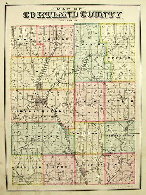
Map of Cortland County
Out of stock
This detailed antique county map was originally published in the Combination Atlas Map of Cortland County New York., dated 1876. This colorful county map shows railroads, lakes and rivers, cities and towns, P.O.s and wagon trails. Great for reference or decoration. ‘
Size: 11 x 15 inches
Condition: Very Good - Minor staning
Map Maker: Everts, Ensign and Everts
Coloring: Original Hand Coloring
Year: 1876
Condition: Very Good - Minor staning
Map Maker: Everts, Ensign and Everts
Coloring: Original Hand Coloring
Year: 1876
Out of stock


