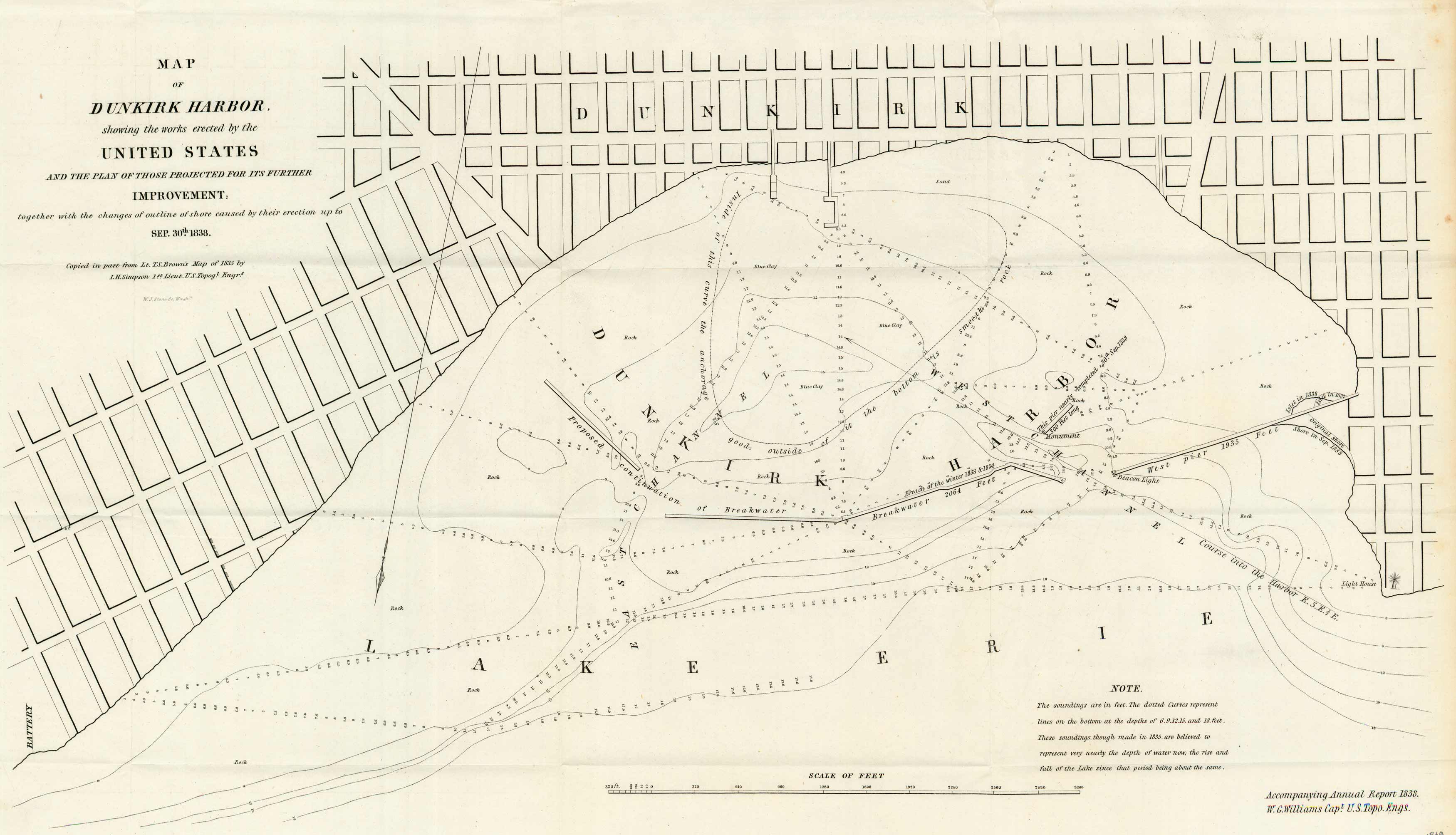
Map of Dunkirk Harbor
In stock
This 1838 black and white “Map of Dunkirk Harbor showing the works erected by the United States and the plan of those projected for its further improvement; together with the changes of outline of shore caused by their erection up to Sep. 30th, 1838”, in New York, on Lake Erie, accompanied the Annual Report 1838, W.G. Williams, Capt., U.S. Topgl Eng’s.
Size: 24 x 12.5 inches
Condition: Very Good - minor paper separation along folds
Map Maker: U.S. Government
Coloring: Black & White
Year: 1838
Condition: Very Good - minor paper separation along folds
Map Maker: U.S. Government
Coloring: Black & White
Year: 1838
In stock


