- You cannot add another "Counties of Northampton, Carbon, Monroe, and Lehigh (Pennsylvania)" to your cart. View cart
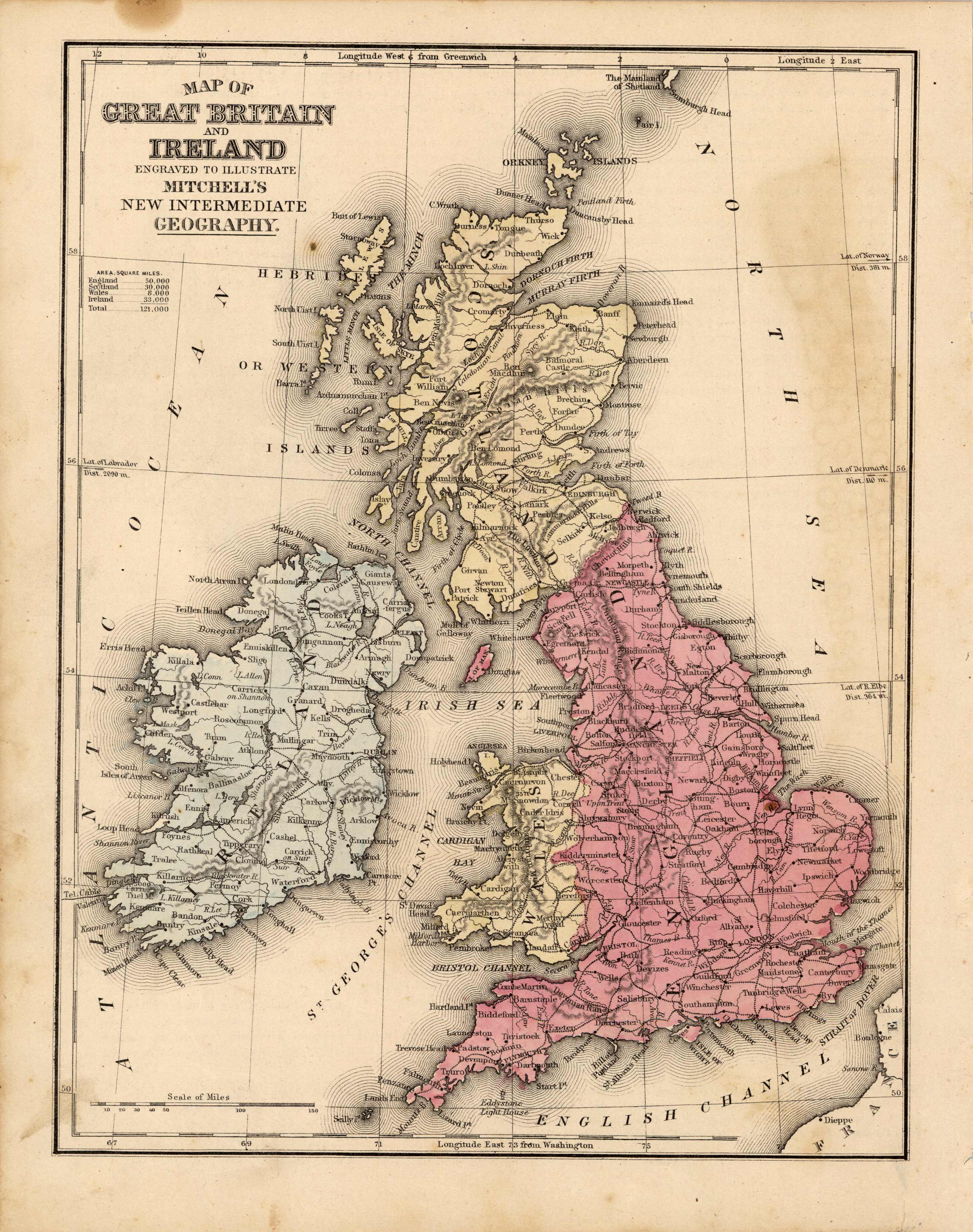
Map of Great Britain and Ireland
In stock
This map was produced by S.A. Mitchell in 1878 for his New Intermediate Geography. The map is nicely hand water-colored. Soon after this time period all maps were mass produced using printed color plates.
Size: 8.25 x 10.75 inches
Condition: Very Good-age toning througout, light foxing
Map Maker: S. Augustus Mitchell
Coloring: Hand Colored, Steel Engraving
Year: 1881
Condition: Very Good-age toning througout, light foxing
Map Maker: S. Augustus Mitchell
Coloring: Hand Colored, Steel Engraving
Year: 1881
In stock


