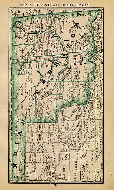
Map of Indian Territory
Out of stock
This handsome map of Indian Territory, combines some of the best features of Rand McNallys accuracy, simplicity and attractive presentation, all in a smaller format. With the benefit of the latest information of the time, this map details of towns, cities, railroads and boundaries of this area, and would rival many larger publications. Condition of this map is good, with bold printed color. An uncommon map.
Size: 4.5 x 8 inches
Condition: Good
Map Maker: Rand McNally & Co.
Coloring: Printed Color
Year: 1884
Condition: Good
Map Maker: Rand McNally & Co.
Coloring: Printed Color
Year: 1884
Out of stock


