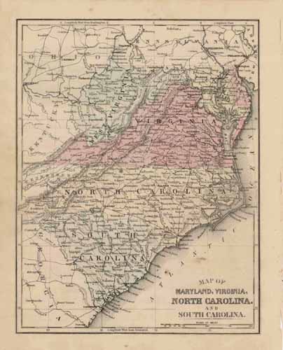
Map of Maryland Virginia North Carolina and South Carolina
Out of stock
This map was produced by S.A. Mitchell in 1878 for his “New Intermediate Geography”. The map is nicely hand water-colored. Soon after this time period all maps were mass produced using printed color plates.
Size: 8 x 10.5 inches
Condition: Very Good
Map Maker: S. Augustus Mitchell
Coloring: Hand-colored steel engraving
Year: 1878
Condition: Very Good
Map Maker: S. Augustus Mitchell
Coloring: Hand-colored steel engraving
Year: 1878
Out of stock


