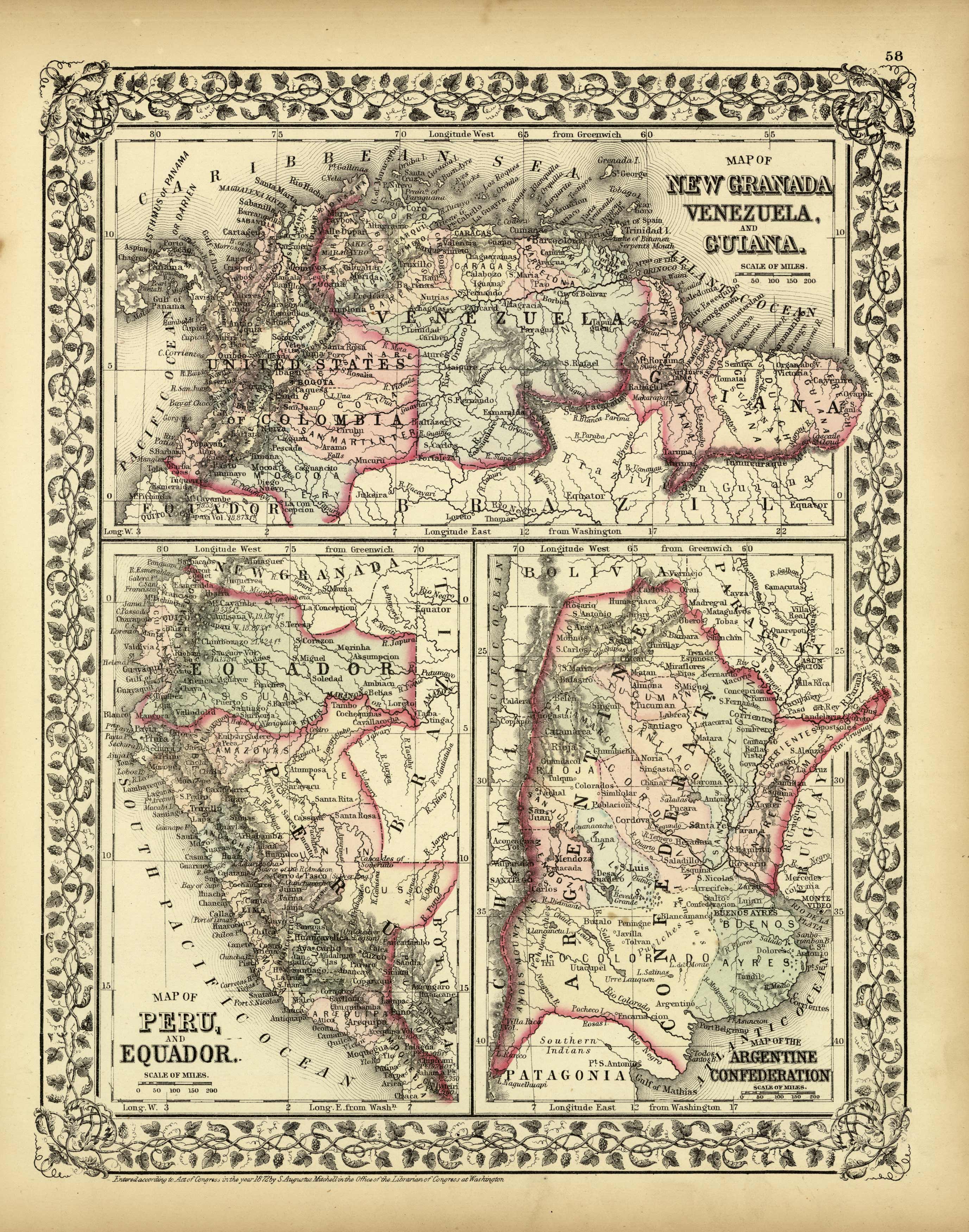
Map of New Granada Venezuela, and Guiana / Map of Peru and Equador / Map of the Argentine Confederation
In stock
This hand colored map was made by S. Augustus Mitchell in 1872. New Granada, Venezuela, and Guiana are illustrated on the top map on this page, Peru and Equador on the bottom left, and Argentina on the right. Countries are distinguished by color. Other details include the names of states, countries, and important cities, rivers, lakes, mountains, and railroads.
Size: 10.75 x 13.5 inches
Condition: Very Good-some age toning
Map Maker: S. Augustus Mitchell
Coloring: Original Hand Coloring
Year: 1872
Condition: Very Good-some age toning
Map Maker: S. Augustus Mitchell
Coloring: Original Hand Coloring
Year: 1872
In stock


