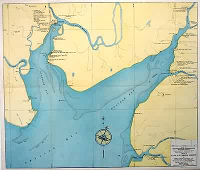
Map of Nushagak and Kvichak Bays, western Alaska
Out of stock
This large, fully colored map of Nushagak and Kvichak Bays in Western Alaska was made in 1946 by the Hubbell & Waller Engineering Corp. for the Alaska Steamship Company. The locations of villages, post offices, fish canneries, stores and hotels are identified.
Size: 23 x 19.75 inches
Condition: Very Good-age toning
Map Maker: Hubbell & Waller Engineering Corp.
Coloring: Machine Color
Year: 1946
Condition: Very Good-age toning
Map Maker: Hubbell & Waller Engineering Corp.
Coloring: Machine Color
Year: 1946
Out of stock


