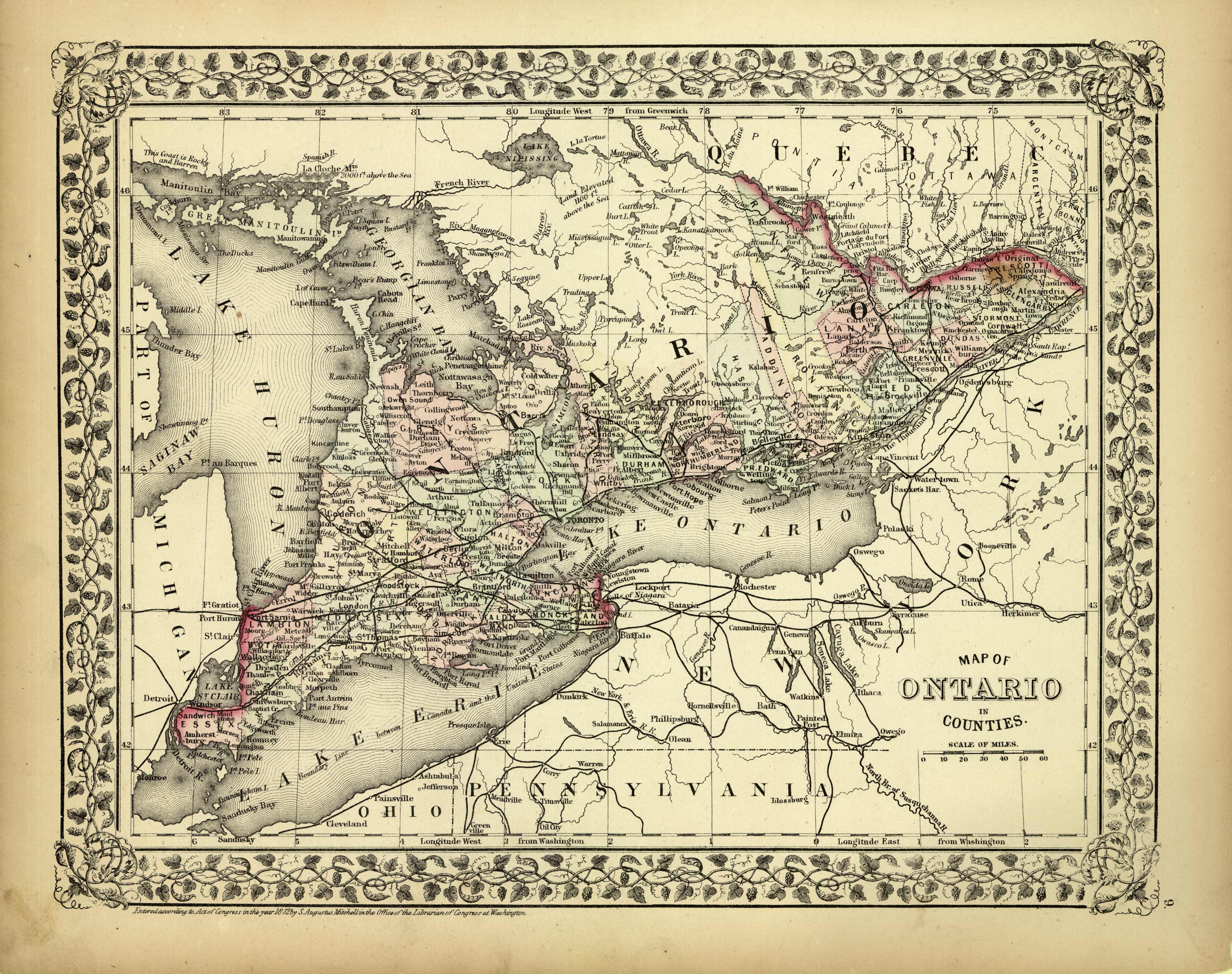
Map of Ontario in Counties
In stock
This map of Ontario was made by S. Augustus Mitchell in 1872. The traditional ivy border, and hand coloring make this map beautiful. This map shows transportation routes, railroads, cities, towns and topographic features. Counties are distinguished by various pastel colors. Very Detailed!
Size: 13 x 10.5 inches
Condition: Very Good-light age toning, minor foxing along border
Map Maker: S. Augustus Mitchell
Coloring: Original Hand Coloring
Year: 1872
Condition: Very Good-light age toning, minor foxing along border
Map Maker: S. Augustus Mitchell
Coloring: Original Hand Coloring
Year: 1872
In stock


