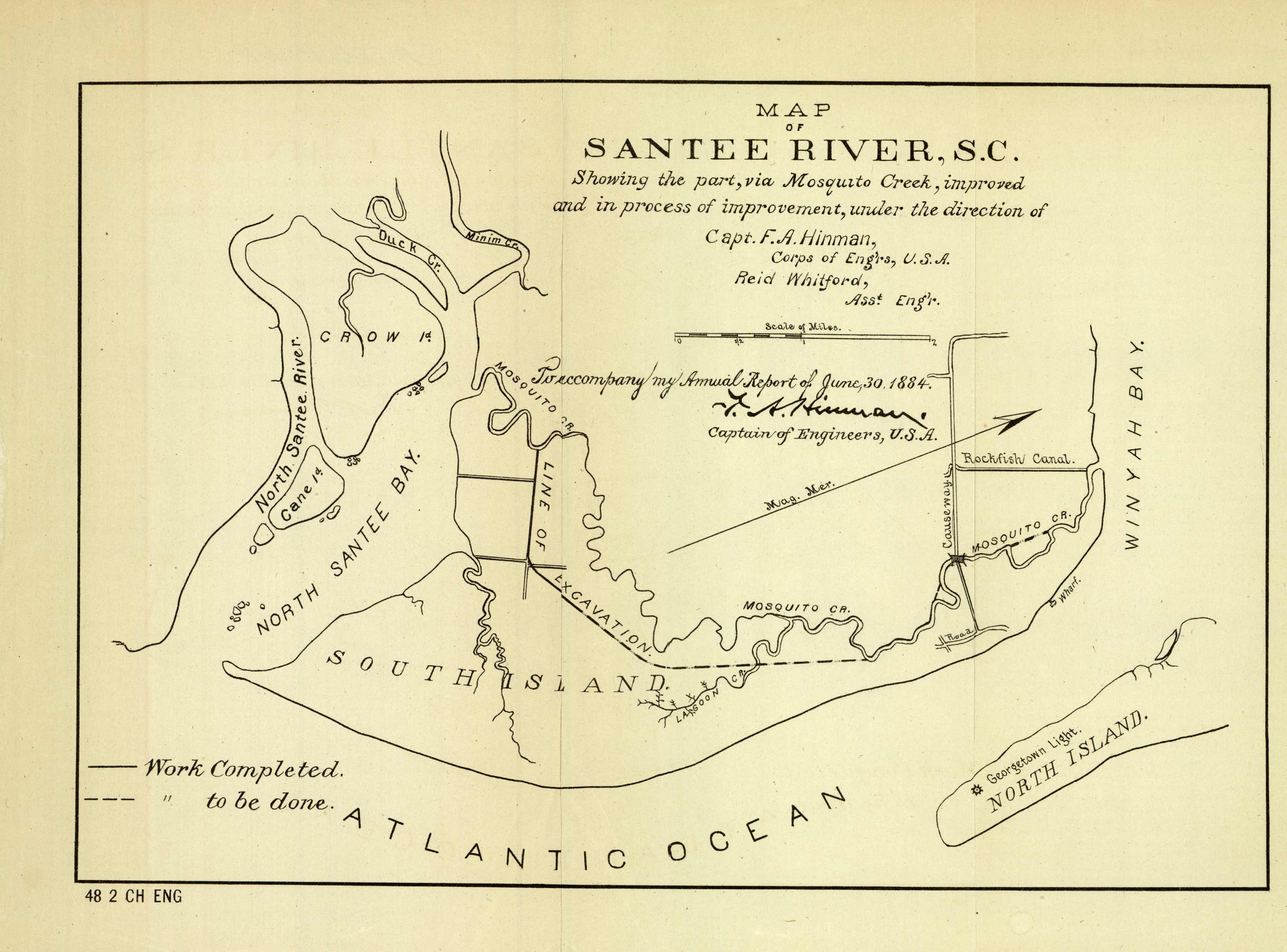
Map of Santee River, S.C.
In stock
Here is an interesting 1884 map from the Corps of Engineers showing “Santee River, S.C., showing the part, via Mosquito Creek, improved and in process of improvement…”
Size: 11 x 8 inches
Condition: Very Good - uneven age toning, some paper separation along folds
Map Maker: U.S. Government
Coloring: Black & White
Year: 1884
Condition: Very Good - uneven age toning, some paper separation along folds
Map Maker: U.S. Government
Coloring: Black & White
Year: 1884
In stock


