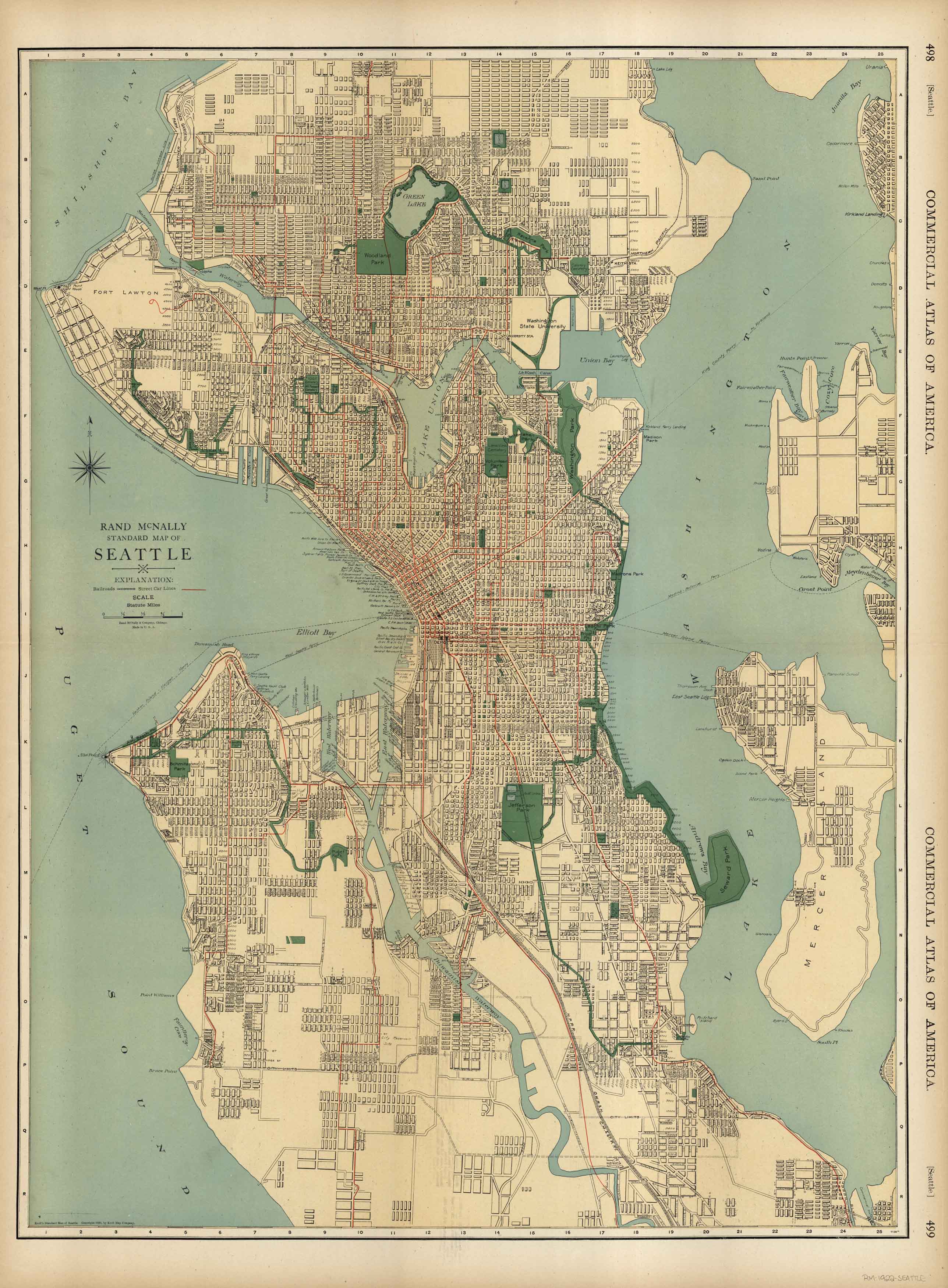
McNally’s 1922 Map of Seattle
Out of stock
This map of Seattle was produced by Rand McNally and Co. as part of its Commercial Atlas of America. The detail shown on each map is exceptional because of the map size. These maps were intended to be used by business for shipping, etc. Roads, railroads, and rivers are clearly shown. There is more detail on these maps than any others during this time period.
Size: 19 x 25 inches
Condition: Very Good
Map Maker: Rand McNally and Company
Coloring: Printed Color
Year: 1922
Condition: Very Good
Map Maker: Rand McNally and Company
Coloring: Printed Color
Year: 1922
Out of stock


