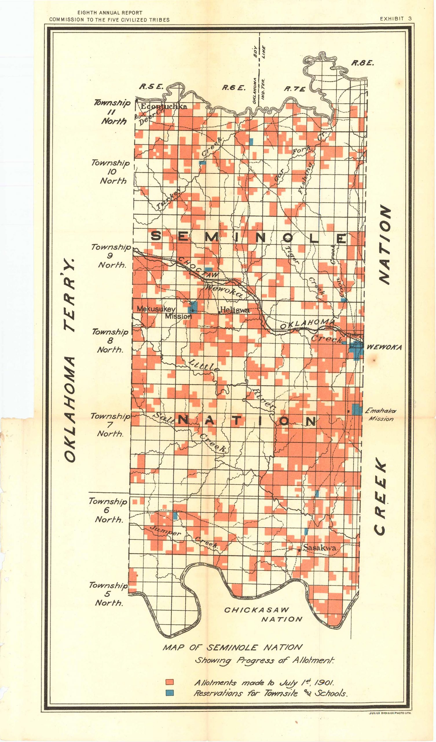
Map of Seminole Nation 1901
Out of stock
This map of the Seminole Nation was made in 1901 for the “Eighth Annual Report Commission to the Five Civilized Tribes”. This dynamic map also features the Oklahoma Territory to the West, the Creek Nation to the East, and the Chickasaw Nation to the South. This map is color coded in the orange and blue; a key at the bottom indicates blue as reservations for Townsite and Schools, and orange as Allotments made to July 1st, 1901. Townships 5 through 11 North are listed on the left hand side and also featured are rivers, creeks and towns.
Size: 9.25 x 15 inches
Condition: Very Good
Map Maker: UNITED STATES GEOLOGICAL SURVEY
Original Production Year: 1901
Coloring: Printed Color
Year: 1901
Condition: Very Good
Map Maker: UNITED STATES GEOLOGICAL SURVEY
Original Production Year: 1901
Coloring: Printed Color
Year: 1901
Out of stock


