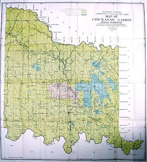
Map of the Chickasaw Nation – Indian Territory
Out of stock
This map of the Chickasaw Indian Nation Territory adjacent to Oklahoma was made in 1906 as part of a government commission to document the progress of the Native American land possession. The names of rivers and creeks (some in English, some with Native American names), and rail lines are shown on this map.
Size: 30 x 33 inches
Condition: Very Good
Map Maker: US Government Land Office
Coloring: Printed Color
Year: 1906
Condition: Very Good
Map Maker: US Government Land Office
Coloring: Printed Color
Year: 1906
Out of stock


