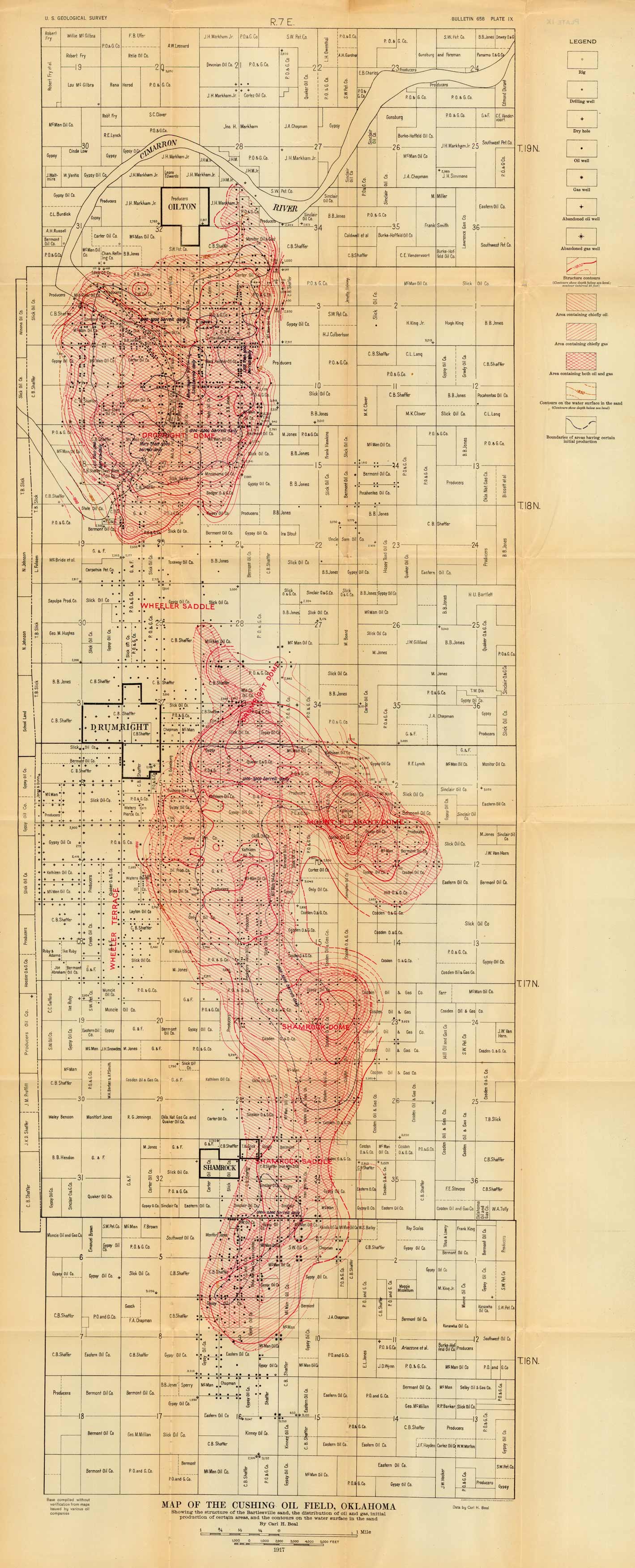
Map of the Cushing Oil Field, Oklahoma
Out of stock
Very unusual map showing the structure of the Bartlesville sand, the distribution of oil and gas, initial production of certain areas, and the contours on the water surface in the sand in the Cushing Oil Field, Oklahoma. Shown are the towns of Shamrock, Drumright, and Oilton, OK…. Map shows all of the leased land and lease owners.
Size: 17 x 43 inches
Condition: Very Good
Map Maker: U.S. Geological Survey, Carl H. Beal
Coloring: Printed Color
Year: 1917
Condition: Very Good
Map Maker: U.S. Geological Survey, Carl H. Beal
Coloring: Printed Color
Year: 1917
Out of stock


