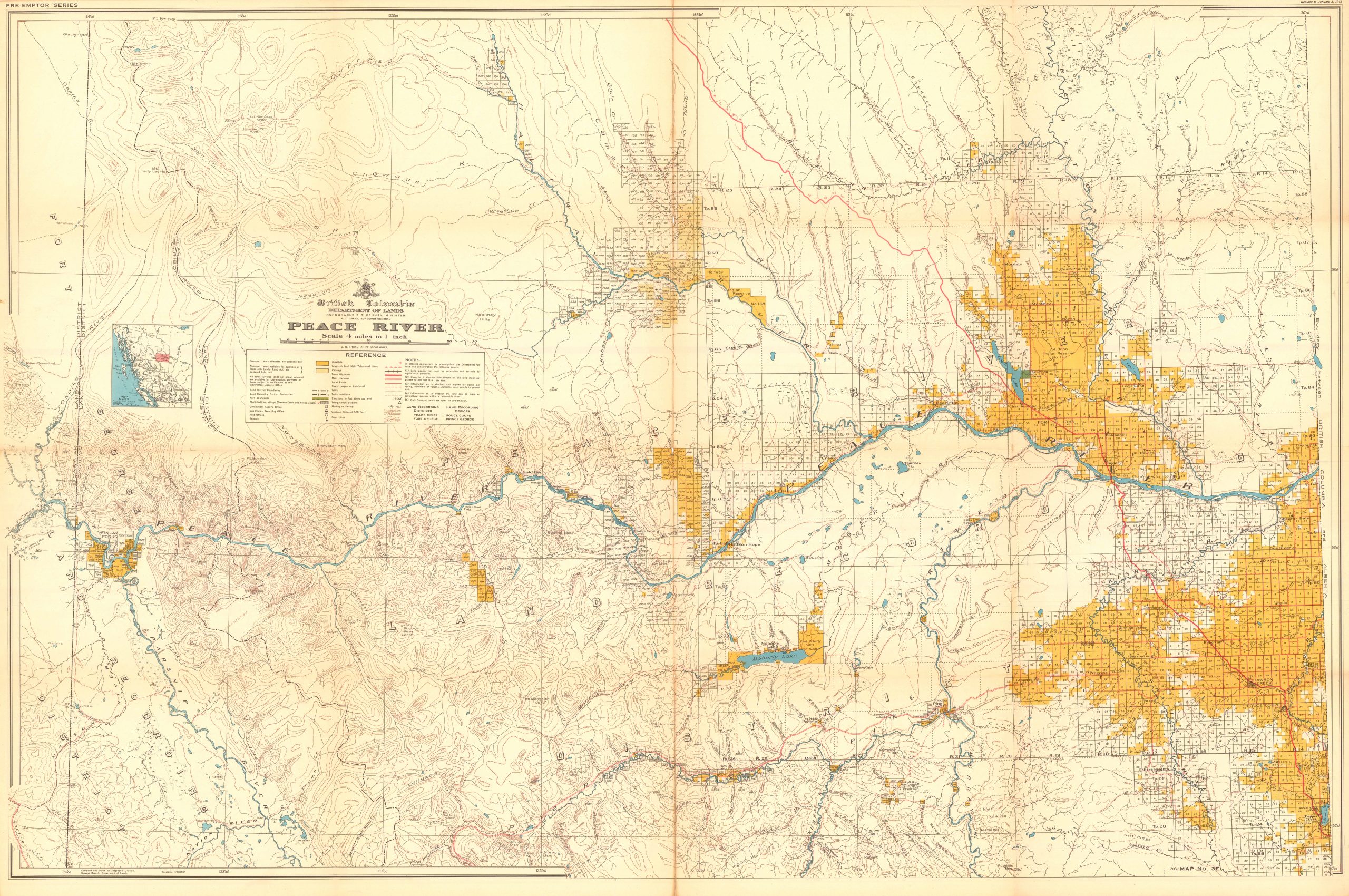
Map of the Peace River, British Columbia, 1945
Out of stock
This gorgeous map of the Peace River, in British Columbia is part of the pre-emptor series and was done by the British Columbia Department of Lands, the honourable T. Kenney Minister, F.C. Green, Surveyor General. This map is scaled at 4 miles to an inch and includes a reference box, a legend, and an inset of ‘Index of Maps’. Various towns, rivers, and other natural and human-made land marks are featured on this beautiful large scale map. Produced in 1945
Size: 42.25 x 28.25 inches
Condition: Very good
Map Maker: Geographic Division, Surveys Branch, Department of Lands
Year: 1945
Condition: Very good
Map Maker: Geographic Division, Surveys Branch, Department of Lands
Year: 1945
Out of stock


