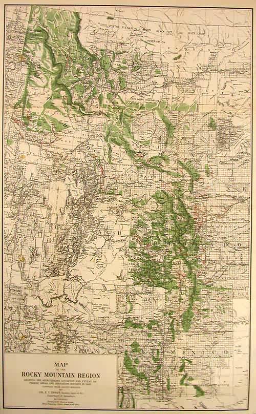
Map of the Rocky Mountain Region showing the approximate location and extent of Forest areas and irrigation ditches in 1885
Out of stock
A tremendous map of the Rocky Mountain range stretching from the Canadian border to the Mexican border. While it is intentioned to topically show us forest and irrigation information, it holds much more for investigation. There is wonderful detail for the states shown, depicting towns, railroads, as well as county lines. It amazing to be able to review this large of a land area without sacrificing intricacy. Numerous Indian tribes shown. A beautiful and rare map.
Size: 19 x 31 inches
Condition: very good
Map Maker: Dept of Agriculture
Coloring: some lithographic color
Year: 1885
Condition: very good
Map Maker: Dept of Agriculture
Coloring: some lithographic color
Year: 1885
Out of stock


