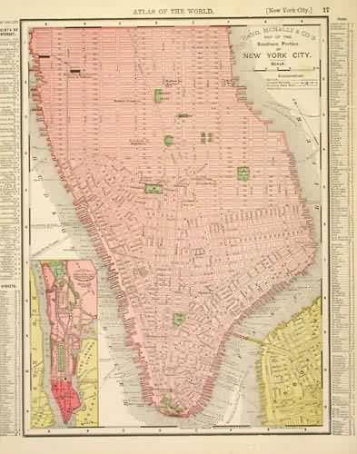
Map of the Southern Portion of New York City
Out of stock
This map comes from the Rand McNally Universal Atlas printed in 1895. This detailed map of New York City shows the southernportion of the city.
Size: 12.5 x 9.25 inches
Condition: Very Good
Map Maker: Rand McNally
Coloring: Printed Color
Year: 1895
Condition: Very Good
Map Maker: Rand McNally
Coloring: Printed Color
Year: 1895
Out of stock


