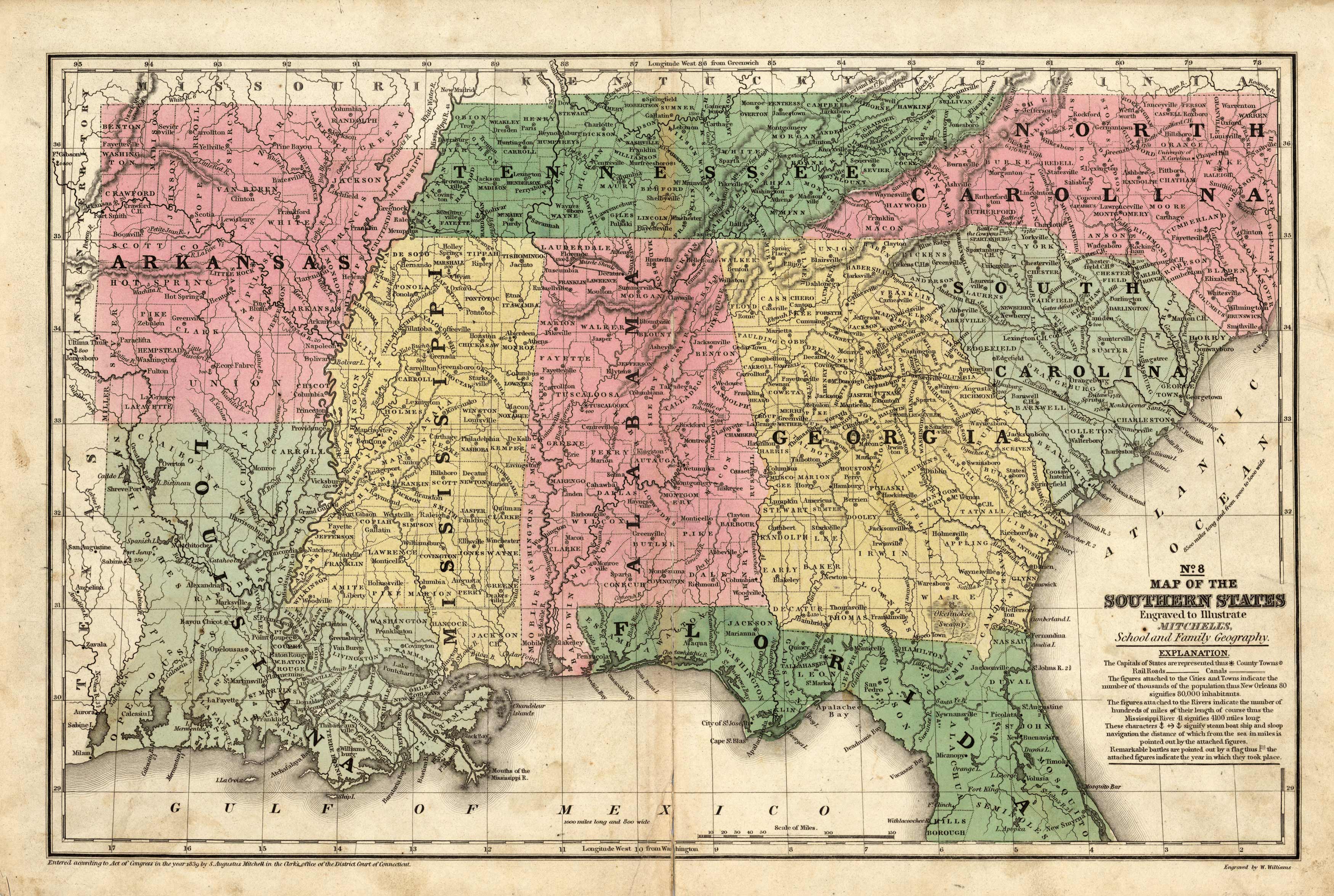
Map of the Southern States
Out of stock
This map was created for Mitchells School Atlas published 1839 by S. Augustus Mitchell. Regions are noted by beautiful hand color. Details include the names of counties, important cities, railroads, lakes, mountains, rivers, and major roads.
Size: 16 x 10.5 inches
Condition: Very Good-age toning througout, light foxing, archivally repaired tear at fold
Map Maker: S. Augustus Mitchell
Coloring: Original Hand Coloring
Year: 1839
Condition: Very Good-age toning througout, light foxing, archivally repaired tear at fold
Map Maker: S. Augustus Mitchell
Coloring: Original Hand Coloring
Year: 1839
Out of stock


