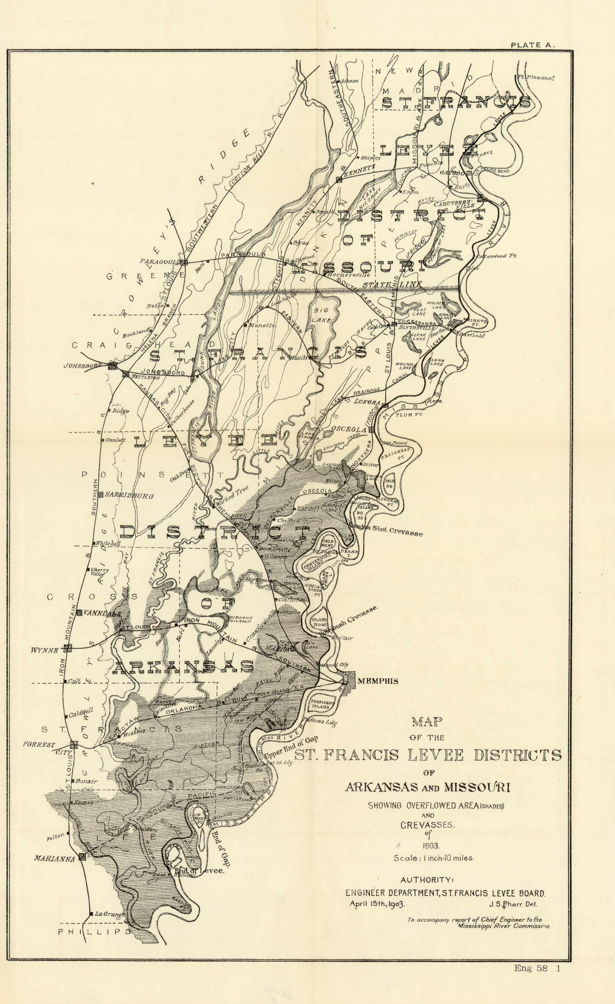
Map of the St. Francis Levee Districts of Arkansas and Missouri
In stock
This 1903 “Map of the St. Francis Levee Districts of Arkansas and Missouri” accompanied the report of Chief Engineer to the Mississippi River Commission, April 15th, 1903. The map shows Overflowed Area (shaded) and Crevasses of 1803.
Size: 8.5 x 14 inches
Condition: Very Good - age toning
Map Maker: U.S. Government
Coloring: Black & White
Year: 1903
Condition: Very Good - age toning
Map Maker: U.S. Government
Coloring: Black & White
Year: 1903
In stock


