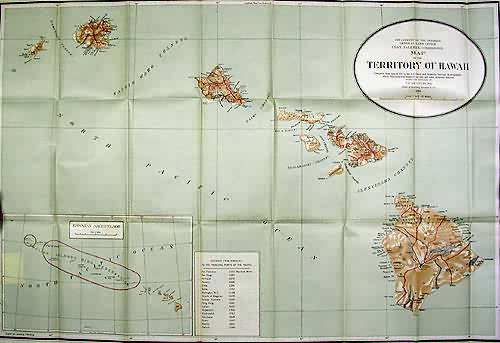
Map of the Territory of Hawii
Out of stock
The Territory of Hawaii with a lower inset map of the Hawaiian Archipelago is illustrated on this large scale map made by the Department of the Interior General land Office. All islands are illustrated along with major cities, towns, and topographical features. A legend is included listing in miles the distance from Honolulu to the principal ports of the pacific.
Size: 32 x 22 inches
Condition: Very Good
Map Maker: General land Office
Coloring: Printed Color
Year: 1915
Condition: Very Good
Map Maker: General land Office
Coloring: Printed Color
Year: 1915
Out of stock


