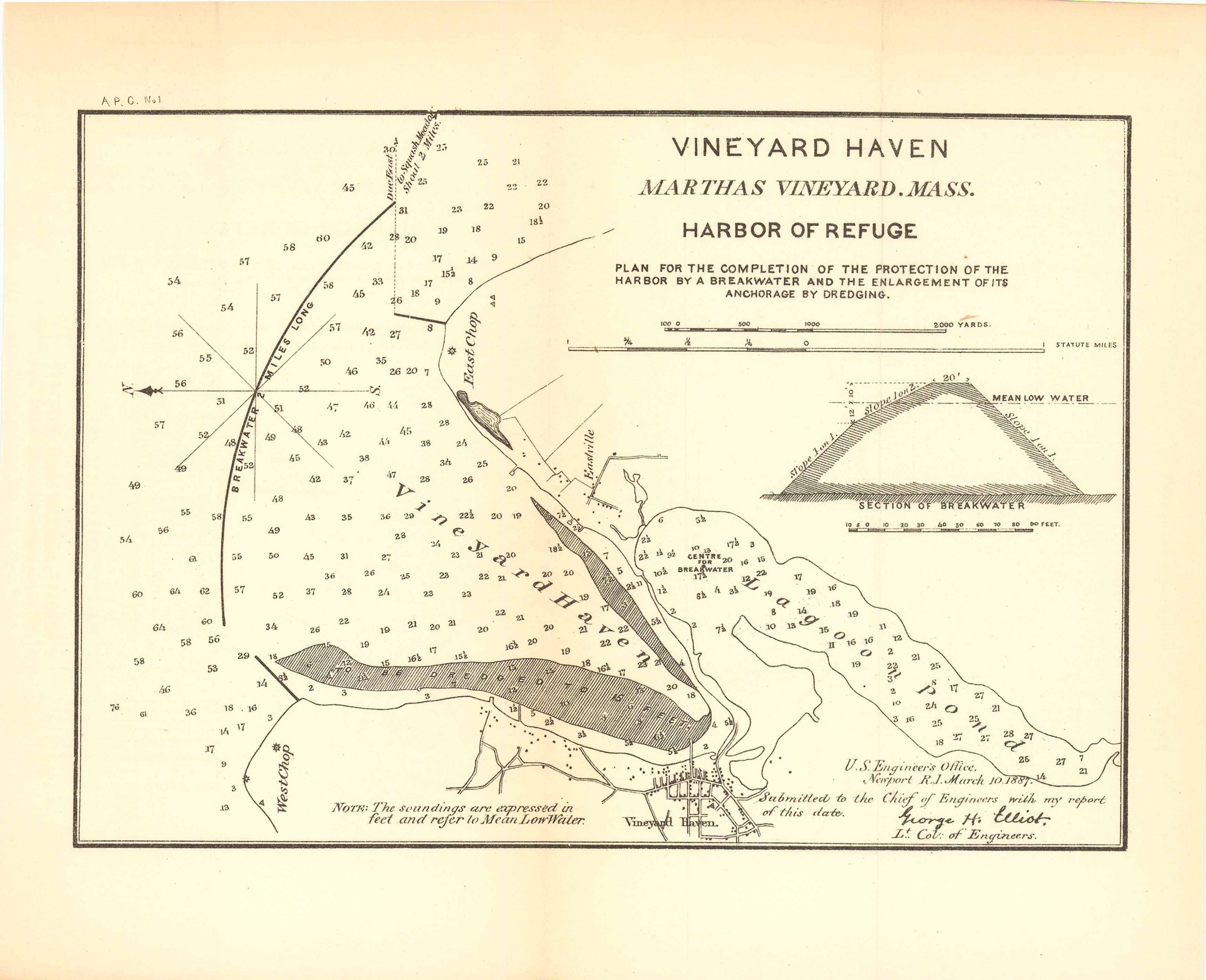
Map of Vineyard Haven, Martha’s Vineyard, Massachusetts 1887
Out of stock
Vineyard Haven Martha’s Vineyard, Massachusetts, Harbor of Refuge; plan for the completion of the protection of the harbor by a breakwater and the enlargement of its anchorage by dredging. This map is accompanied by a key and note on the soundings and features Lagoon Pond, Vineyard Haven, East Chop and West Chop.
Size: 9.5 x 6.75 inches
Condition: Very good
Map Maker: U.S. Corps of Engineers
Original Production Year: 1887
Coloring: Black & White
Year: 1887
Condition: Very good
Map Maker: U.S. Corps of Engineers
Original Production Year: 1887
Coloring: Black & White
Year: 1887
Out of stock


