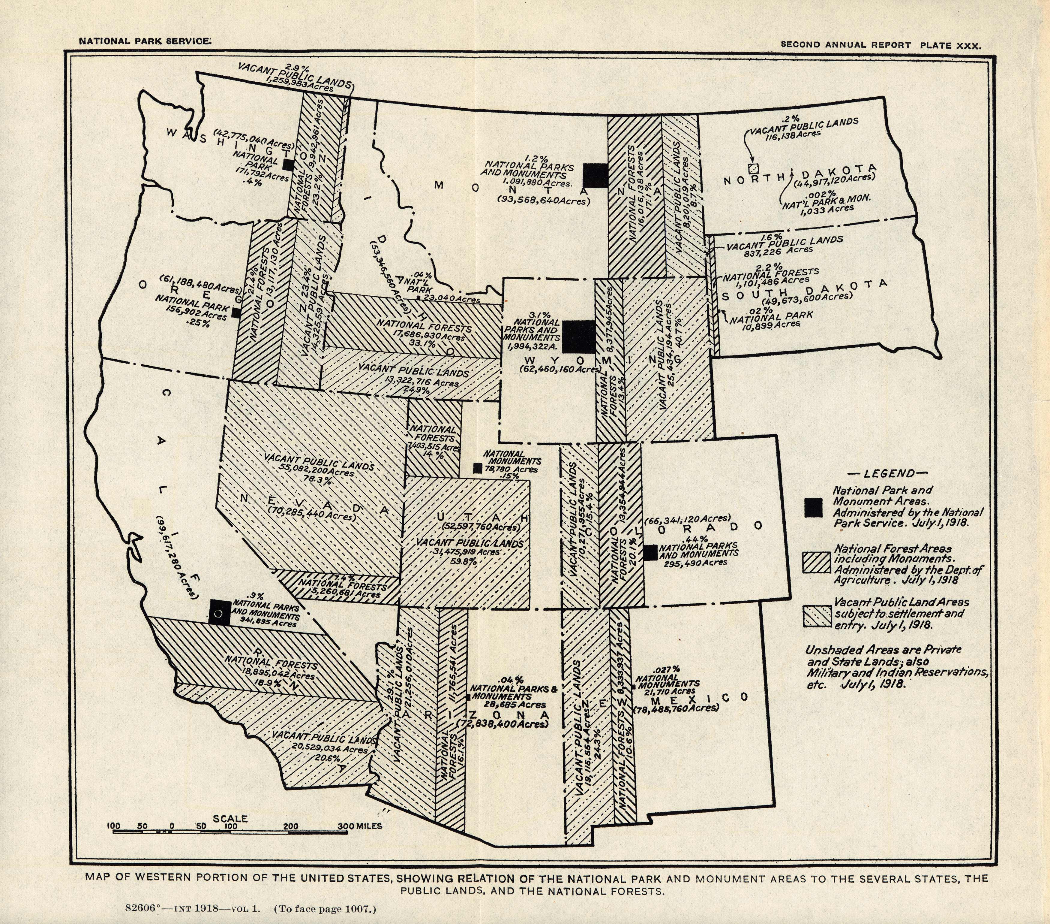
Map of Western Portion of the United States, Showing Relation of the National Park and Monument Areas to the Several States, the Public Lands, and the National Forests
In stock
This map is from the National Park Services Second Annual Report, published in 1918. The report included maps of all of the National Parks, proposed changes or additions to the National Parks, and proposed new National Parks. The maps give a unique glimpse into the National Park Service in its infancy.
Size: 9 x 8.5 inches
Condition: Very Good
Map Maker: National Park Service
Coloring: Black & White
Year: 1918
Condition: Very Good
Map Maker: National Park Service
Coloring: Black & White
Year: 1918
In stock


