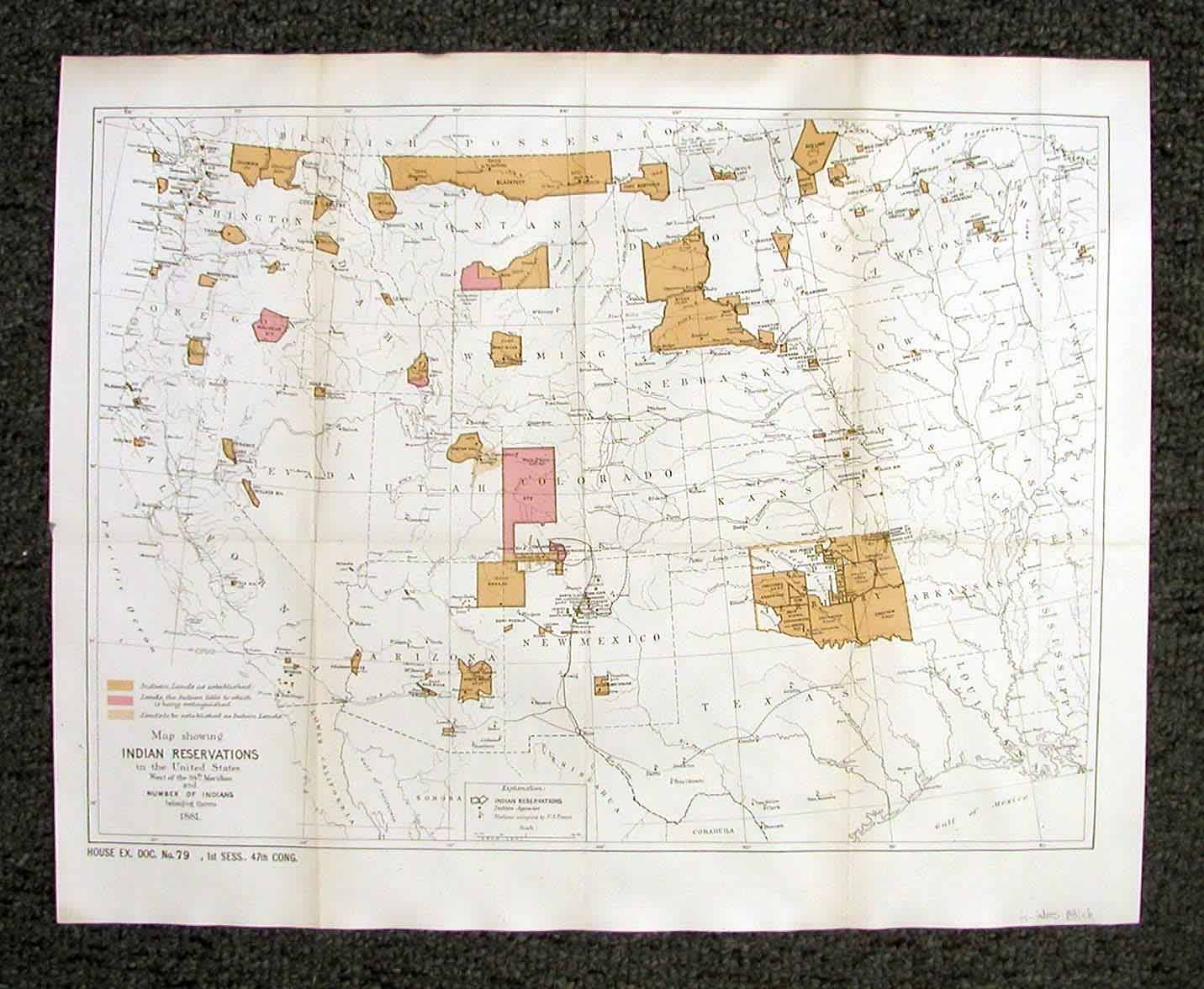
Map showing Indian Reservations in the United States West of the 84th Meridian and number of Indians belonging thereto 1881
Out of stock
This thematic map covers the changing face of 19th century America in a way that is probably the most historically significant. Showing us the states from the west coast to the eastern reaches of the Midwest, this map documents the declining provision and place for the American Native. With color-coding we see the “Indian Lands Established”, “Lands”being extinguished”, and “Lands to be established”. While established lands abound in Dakota, Montana and the Indian Territory, the pockets of reservations are growing much more dispersed and much smaller. Several notable large reservations are shown to be extinguished, specifically the expansive Colorado Ute reservation, part of the Crow territory, as well as the tribes of the eastern Oregon. Visually this is the rest of the American story and an interesting study in the developing West.
Condition: very good
Map Maker: US Govt.
Coloring: lithographic color
Year: 1881
Out of stock


