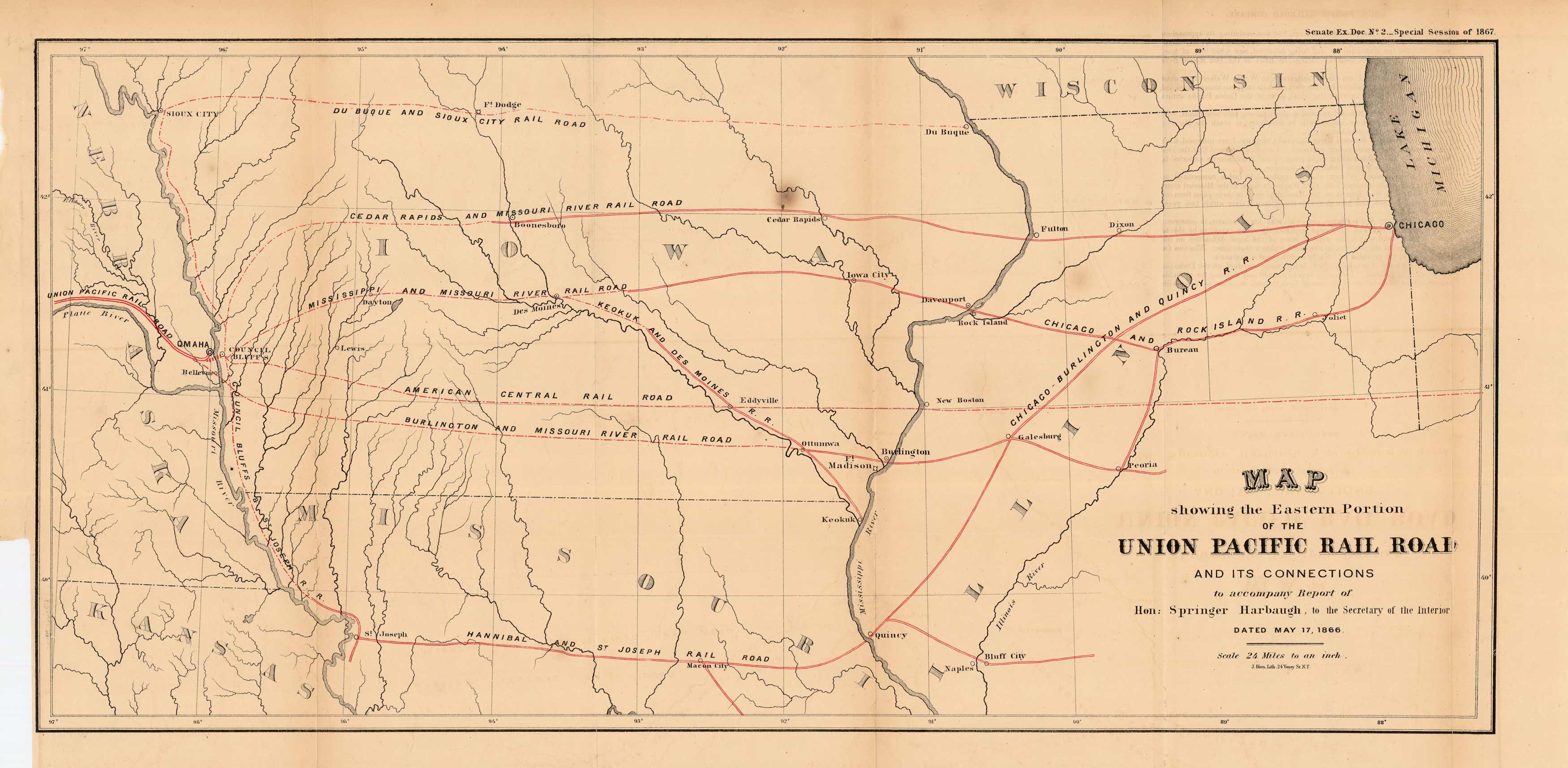
Map showing the Eastern Portion of the Union Pacific Rail Road and its Connections
Out of stock
This “Map showing the Eastern Portion of the Union Pacific Rail Road and its Connections to accompany Report of Hon. Springer Harbaugh, to the Secretary of the Interior, Dated May 17, 1866” shows lines west of Chicago and East of Omaha.
Size: 22.5 x 10.75 inches
Condition: Very Good - foxing, some paper separation/loss esp. along folds
Map Maker: U.S. Government
Coloring: Hand Color
Year: 1866
Condition: Very Good - foxing, some paper separation/loss esp. along folds
Map Maker: U.S. Government
Coloring: Hand Color
Year: 1866
Out of stock


