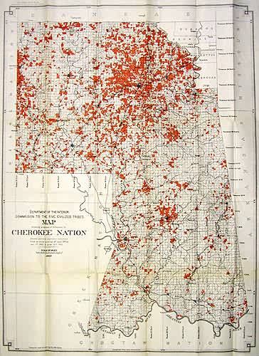
Map showing the progress of allotments in Cherokee Nation
Out of stock
This is one of the final maps that would be made of the Cherokee Territory, the allotment of land that the US gave this tribe back in the 1860’s, in what was called the Indian Territory. This map supplies us with good detail of towns, rail lines, as well as the rivers.
Size: 25.5 x 35 inches
Condition: Good
Map Maker: Department of Interior
Coloring: Printed Color
Year: 1903
Condition: Good
Map Maker: Department of Interior
Coloring: Printed Color
Year: 1903
Out of stock


