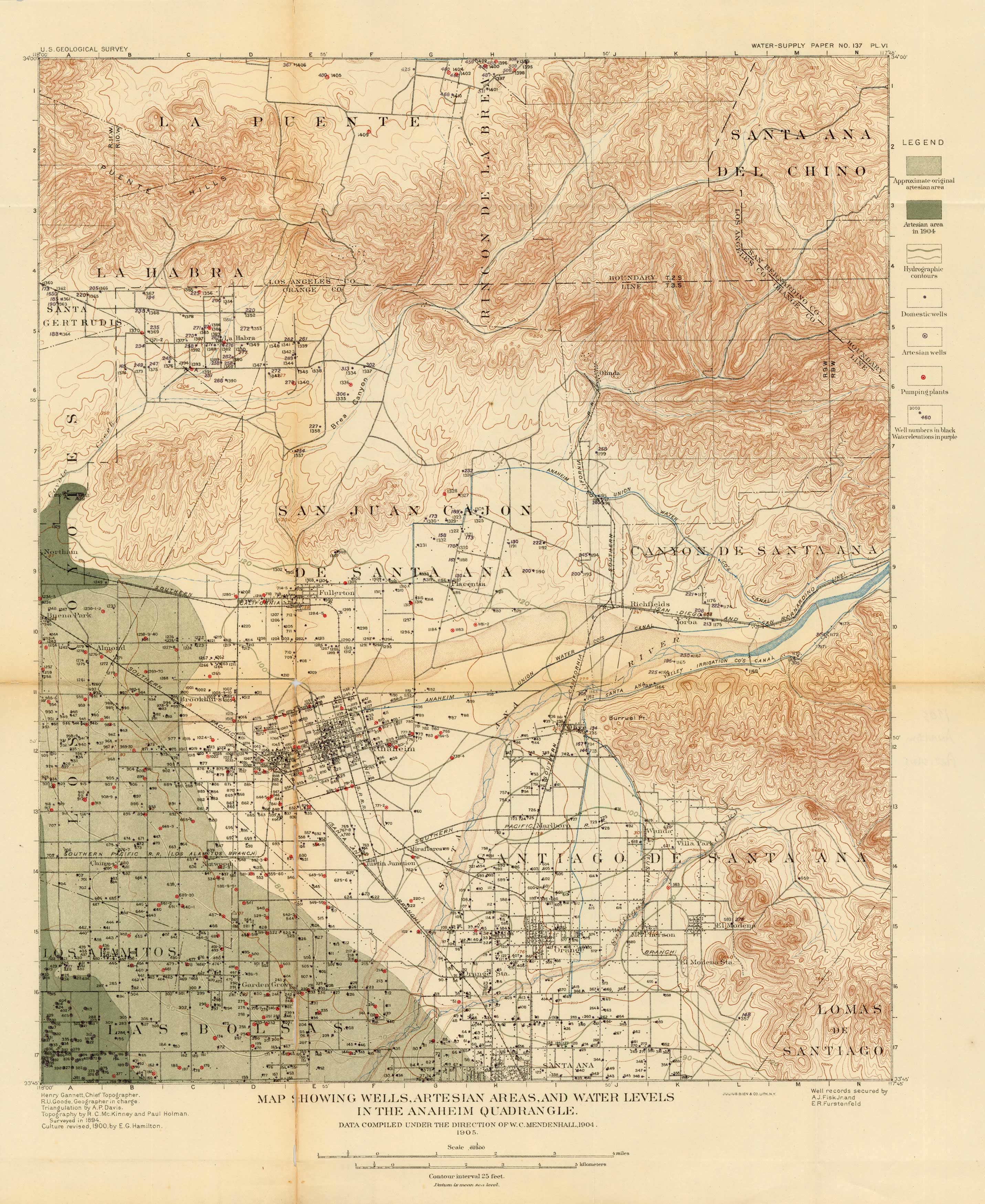
Map Showing Wells, Artesian Areas, and Water Levels in the Anaheim Quadrangle
Out of stock
Data Compiled under the Direction of W.C.Mendenhall in 1904, this map shows the Wells, Artesian Areas, and Water Levels in the Anaheim Quadrangle
Size: 16 x 19.5 inches
Condition: Good - repaired fold separation
Map Maker: W.C. Mendenhall
Coloring: Printed Color
Year: 1905
Condition: Good - repaired fold separation
Map Maker: W.C. Mendenhall
Coloring: Printed Color
Year: 1905
Out of stock


