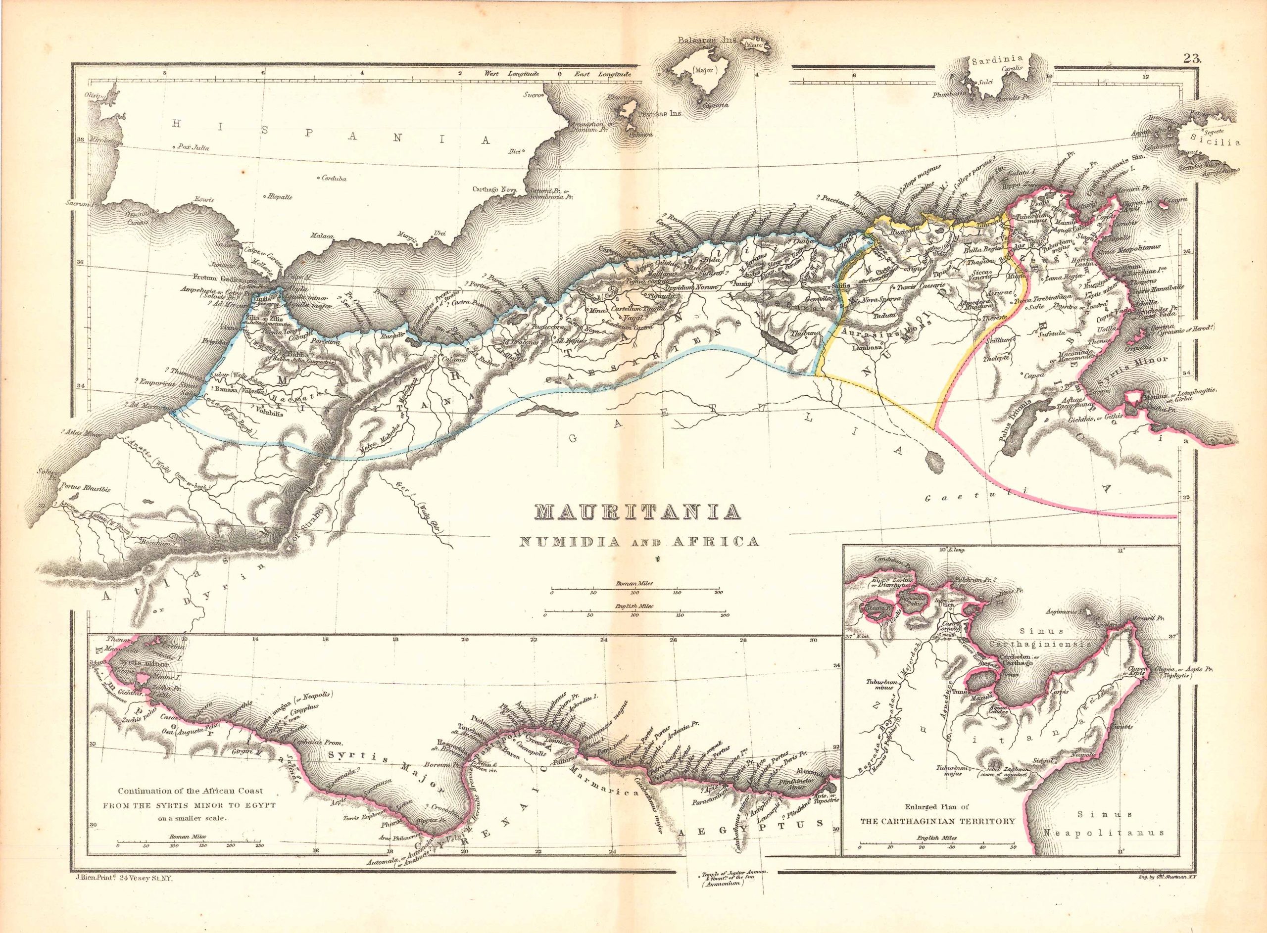
Mauritania Numidia and Africa
In stock
William Hughes included this skillfully constructed map of Mauritania in his Atlas of Classical Geography from 1867. This atlas features smaller sized format maps with bright outline watercolor. Among other details, these maps show topography, rivers, cities, islands, and major landmarks. Each one would make a superb gift and because of their small size, are easy to frame. This particular classic map of Mauritania includes insets of the Carthaginian Territory and the continuation of the African coast from Syrtis minor to Egypt.
Size: 12.5 x 9 inches
Condition: Very Good
Map Maker: William Hughes
Coloring: Original Outline Color
Year: 1867
Condition: Very Good
Map Maker: William Hughes
Coloring: Original Outline Color
Year: 1867
In stock


