Mexico
In stock
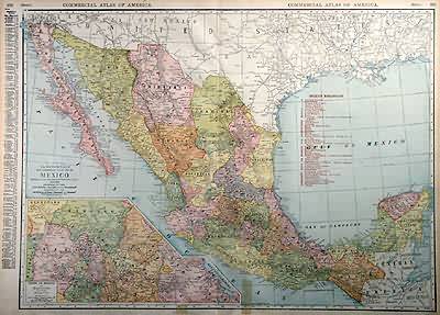
Rand McNally made this “Commercial Atlas of America” in 1920. Mexico is illustrated on this map. An inset shows the state of Mexico and surrounding states at a greater scale than the main map. The names of regions and important cities, lakes and rivers are identified. Each railroad is labled with numbers that correspond to a key providing their names.
Size: 26 x 19 inches
Condition: Very Good-age toning, small tears in margin repaired with discolored tape
Map Maker: Rand McNally
Coloring: Machine Color
Year: 1920
Condition: Very Good-age toning, small tears in margin repaired with discolored tape
Map Maker: Rand McNally
Coloring: Machine Color
Year: 1920
In stock


