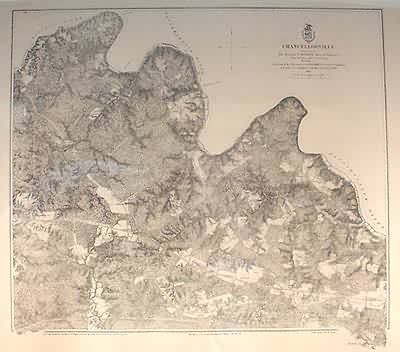
Chancellorsville
In stock
Art Source is proud to showcase a stunning collection of original Civil War plans and maps. These large scale, steel engraved maps are extremely rare, and difficult to find. We have not seen a collection like this in years. Each maps significant detail shows towns, wagon roads, railroads and proposed railroads, landowners, farms, rivers, lakes, streams, topography and physical features of the land and forts. This map is centered on Chancellorsville including surrounding countryside.
Size: 24.5 x 22.5 inches
Condition: Very Good
Map Maker: U.S. Government - Secretary of War
Coloring: Back and White
Year: 1867
Condition: Very Good
Map Maker: U.S. Government - Secretary of War
Coloring: Back and White
Year: 1867
In stock


