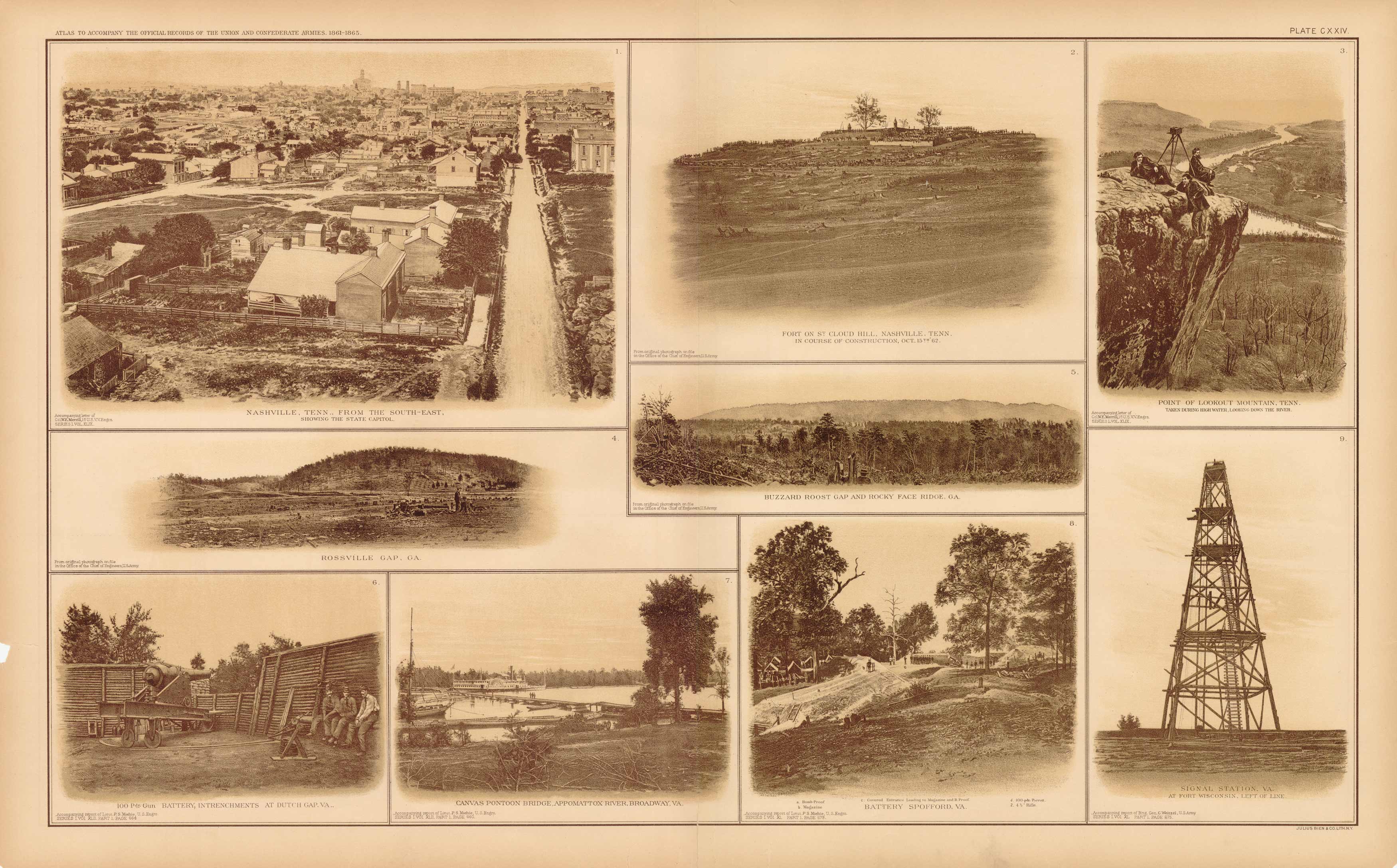
Civil War Atlas: Plate 124; Nashville, Tenn; Fort on St. Cloud Hill; Signal Station; Appomattox River
In stock
This plate came from The Atlas to Accompany the Official Records of the Union and Confederate Armies. The Atlas was published between 1891 and 1895 and is the definitive source of Civil War information available. This Plate contains the following map(s). Plate CXXIV Photographic Views1. Nashville, Tenn. From the South-East Showing the State Capitol;2. Fort on St. Cloud Hill, Nashville, Tenn.;3. Point of Lookout Mountain, Tenn.;4. Rossville Gap, GA.;5. Buzzard Roost Gap and Rocky Face Ridge, GA.;6. 100 Pdr. Gun Battery, Intrenchments at Dutch Gap, VA.;7. Canvas Pontoon Bridge Appomattox River, Broadwaym VA.;8. Battery Spofford, VA.;9. Signal Station, VA.
Size: 27 x 16.5 inches
Condition: Very Good
Map Maker: U.S. War Records Office
Coloring: Lithograph Color
Year: 1894
Condition: Very Good
Map Maker: U.S. War Records Office
Coloring: Lithograph Color
Year: 1894
In stock


