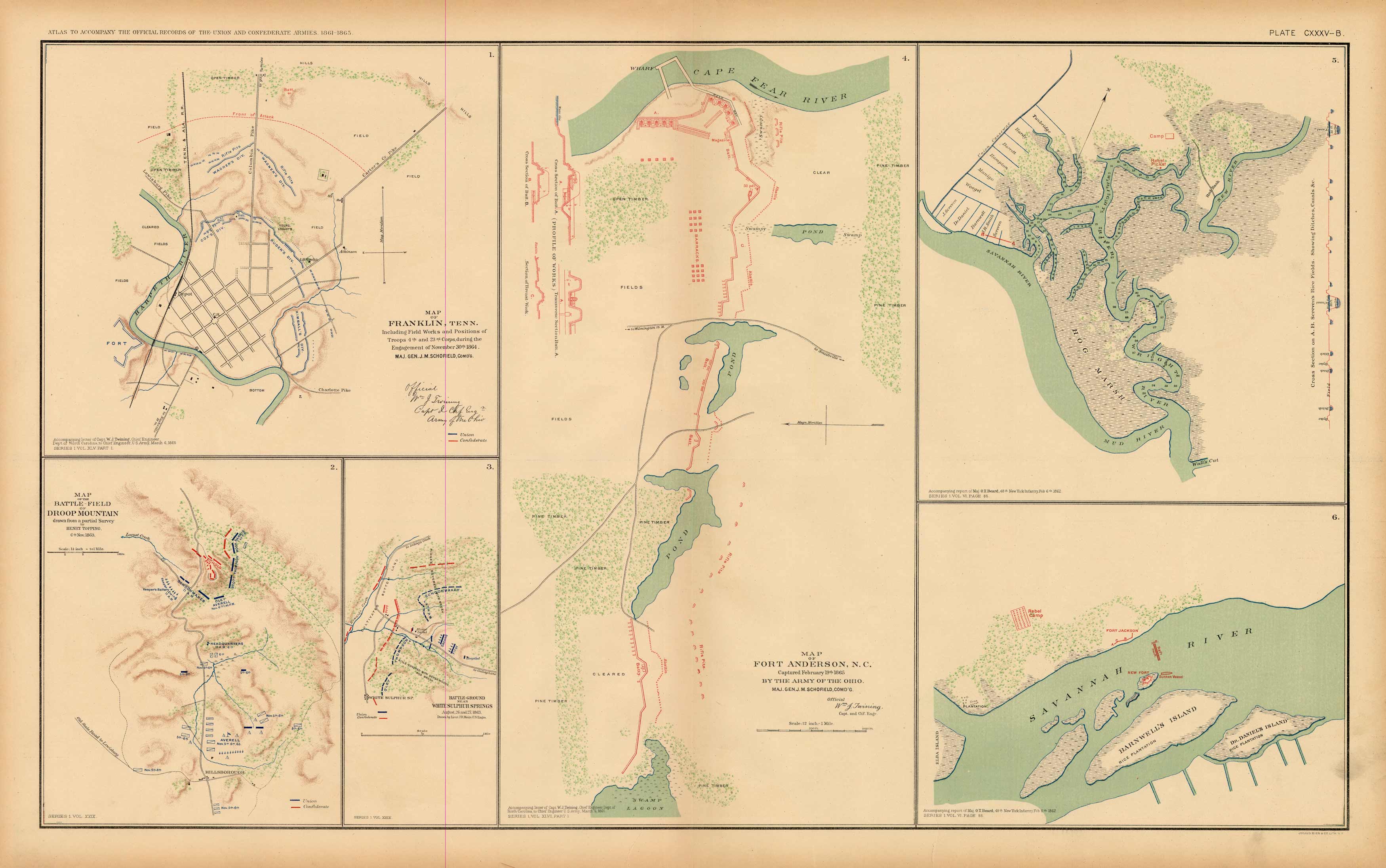
Civil War Atlas: Plate 135-B; Map of Fort Anderson; Franklin, Tenn.;Battle-Field of Droop Mountain
In stock
This plate came from The Atlas to Accompany the Official Records of the Union and Confederate Armies. The Atlas was published between 1891 and 1895 and is the definitive source of Civil War information available. This Plate contains the following map(s). Plate CXXXV-B1. Map of Franklin Tenn.;2. Map of the Battle-Field of Droop Mountain;3. Battle ground near White Sulphur Springs;4. Map of Fort Anderson N.C.;5. No title;6. No title
Size: 27 x 16.5 inches
Condition: Very Good
Map Maker: U.S. War Records Office
Coloring: Lithograph Color
Year: 1894
Condition: Very Good
Map Maker: U.S. War Records Office
Coloring: Lithograph Color
Year: 1894
In stock


