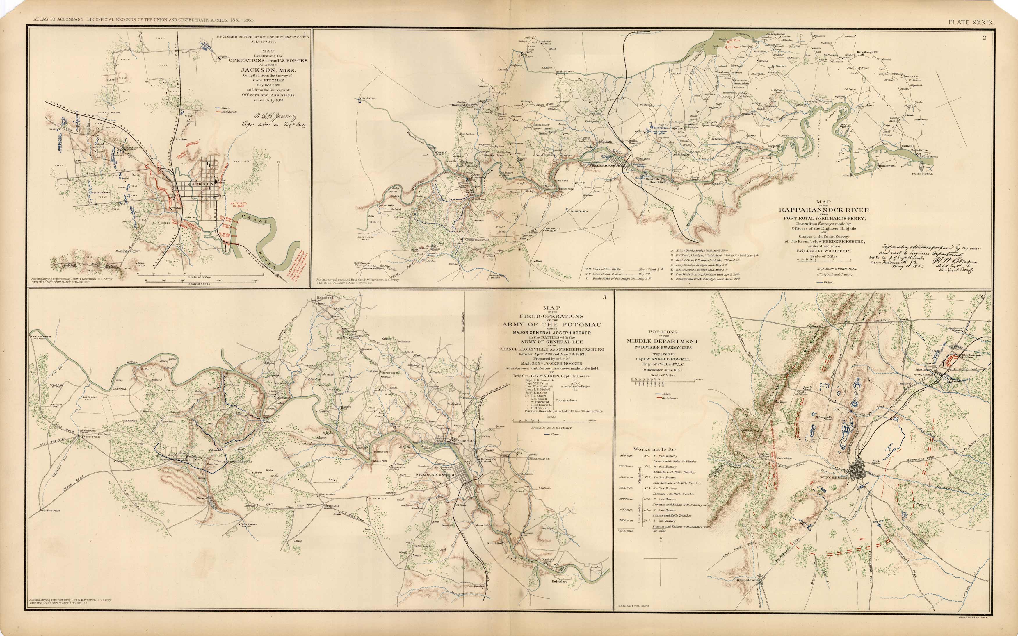
Civil War Atlas; Plate 39; Maps of Jackson, Miss., Winchester, Va.
In stock
This plate came from The Atlas to Accompany theOfficial Records of the Union and Confederate Armies. TheAtlas was published between 1891 and 1895 and is thedefinitive source of Civil War information. This Plate contains the following map(s). Plate XXXIX1. Map of Operations of The U.S. Forces Against Jackson, Miss.;2. Map of The Rappahannock River From Port Royal to Richards Ferry;3. Map of Field-Operations Army of the Potomac General Joseph Hooker;4. Portions of the Middle Department 2nd Division 8th Army Corps’
Size: 27 x 16.5 inches
Condition: Very Good
Map Maker: U.S. War Records Office
Coloring: Lithograph Color
Year: 1892
Condition: Very Good
Map Maker: U.S. War Records Office
Coloring: Lithograph Color
Year: 1892
In stock


