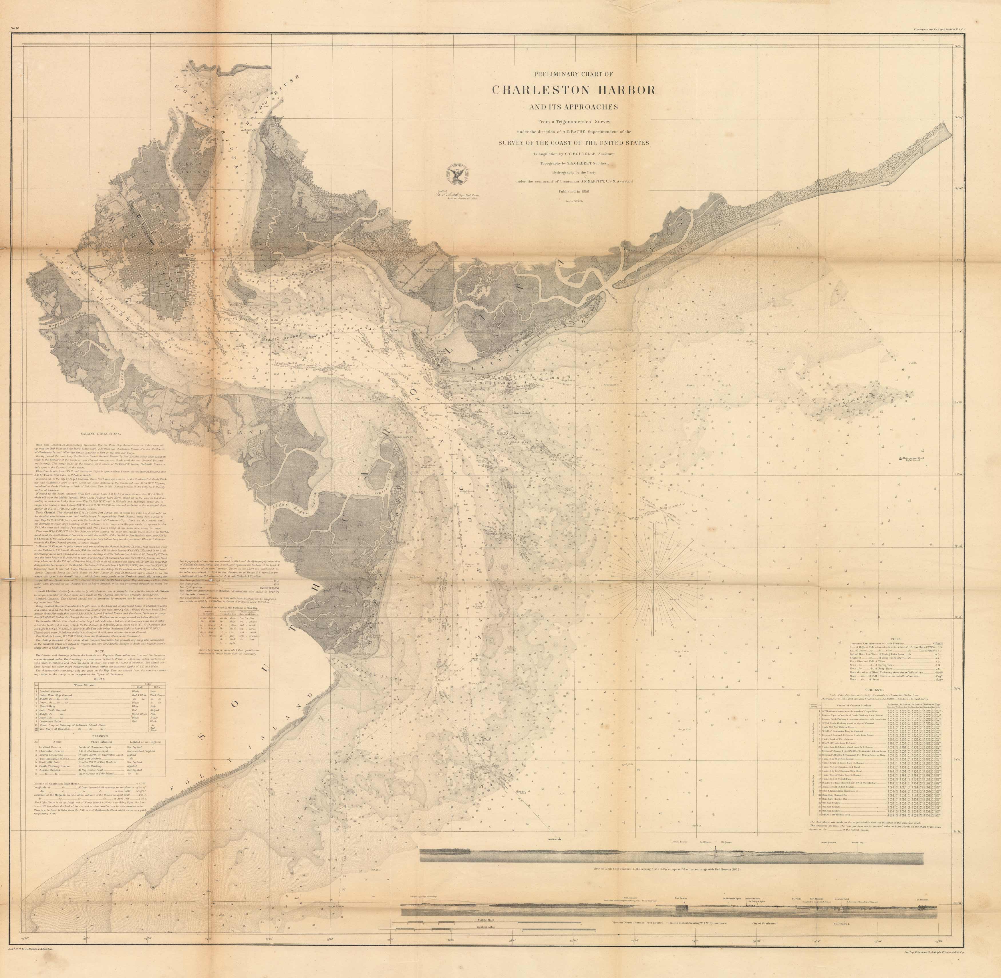
General Map of Charleston Harbor, South Carolins, Showing Rebel Defences and Obstructions
In stock
We are proud to offer a very rare civil war map relating to the defenses and obstructions of Charleston Harbor . This map shows all of the armament of the Confederate Army defending Charleston Harbor.This is a stunning hand colored map showing all of the sunken ships, torpedos in water, rope obstructions, and much, much more. There are only a few references to this map being offered in the last 15 years.
Size: 32 x 31 inches
Condition: Good - uneven age toning, paper separation and loss along folds
Map Maker: U.S. Coast Survey
Coloring: Black & White
Year: 1856
Condition: Good - uneven age toning, paper separation and loss along folds
Map Maker: U.S. Coast Survey
Coloring: Black & White
Year: 1856
In stock


