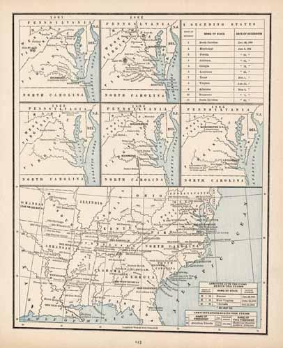
Map showing the States Seceding from the Union
In stock
George F. Cram produced this historical map for his Unrivaled Atlas of the World in 1889. This unique map shows the states seceding from the Union, dates of secession and states admitted to the union during this time period.
Size: 9.5 x 12.25 inches
Condition: Very Good
Map Maker: George F. Cram
Coloring: Printed Color
Year: 1889
Condition: Very Good
Map Maker: George F. Cram
Coloring: Printed Color
Year: 1889
In stock


