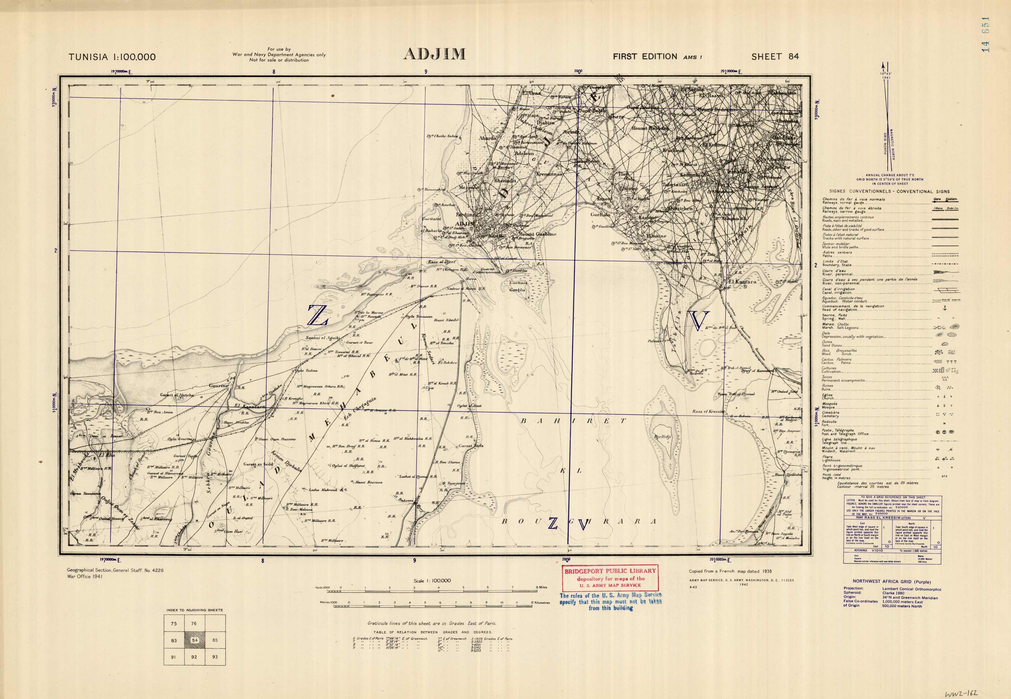
Adjim, Tunisia
In stock
We are excited to offer a wonderful collection of World War II maps. Over the years we have had many requests for WWII material and here it is. These maps are very detailed showing boundaries, railways, roads, cart tracks, natural surface tracks, mule and bridle paths, paths, rivers, canals, aqueducts, heads of navigation, springs, wells, marshes, salt lagoons, depressions, sand dunes, woods, scrub, cactus, palms, cultivation, permanent encampments, ruins, mosques, churches, cemeteries, forts, post and telegraph offices, telegraph lines, windmills, watermills, lighthouses, and trigonometrical points.
Size: 26 x 18 inches
Condition: Very Good
Map Maker: Army Map Service, U.S. Army, U.S. Government
Coloring: Printed Color
Year: 1942
Condition: Very Good
Map Maker: Army Map Service, U.S. Army, U.S. Government
Coloring: Printed Color
Year: 1942
In stock


