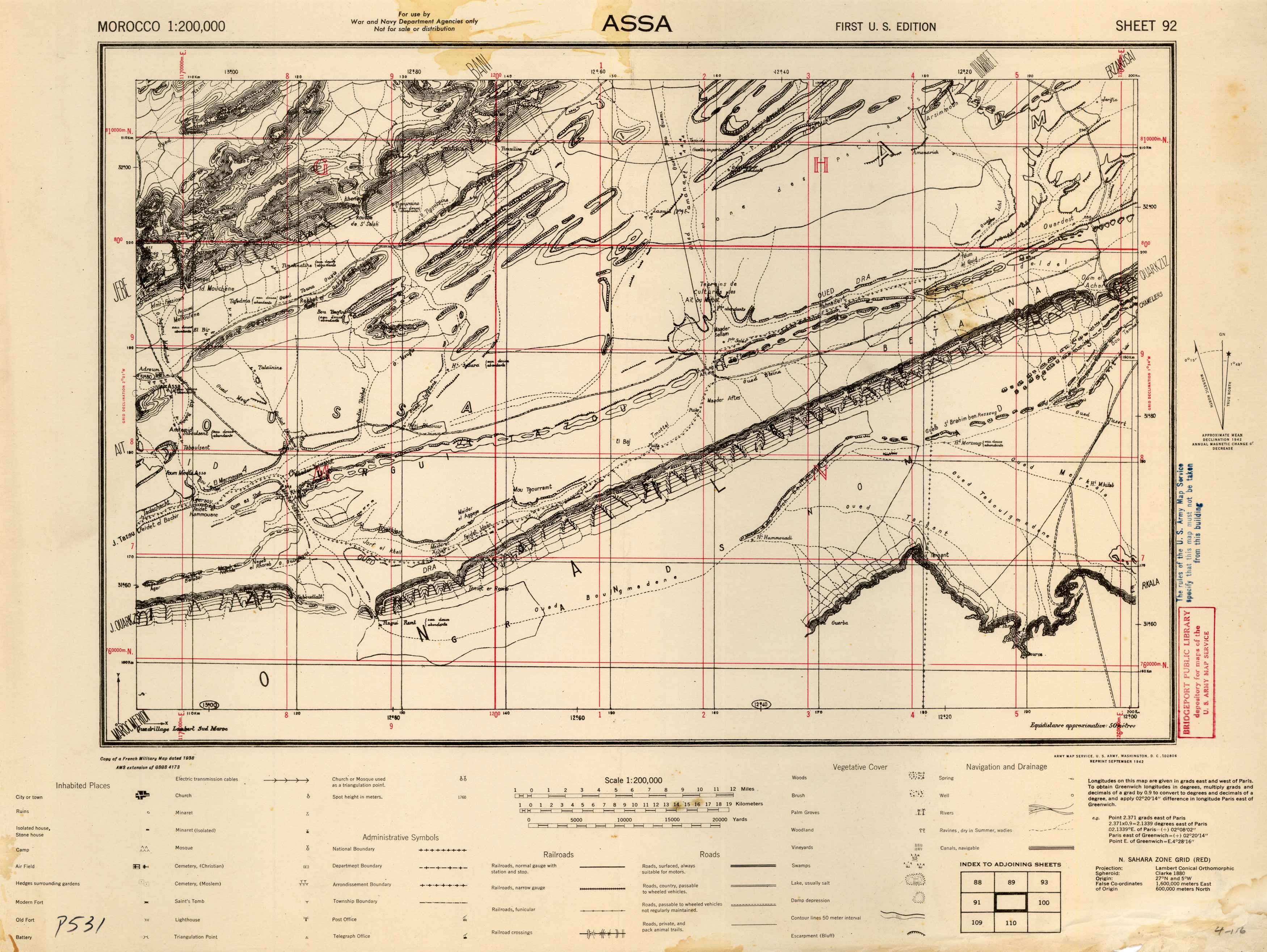
Assa, Morocco
In stock
We are excited to offer a wonderful collection of World War II maps. Over the years we have had many requests for WWII material and here it is. These maps are very detailed showing cities or towns, ruins, isolated houses, stone houses, camps, air fields, hedges surrounding gardens, modern forts, old forts, batteries, electric transmission cables, churches, minarets, isolated minarets, mosques, Christian cemeteries, Moslem cemeteries, saints tombs, lighthouses, triangulation points, Boundaries (national, department, arrondissement, township), post offices, telegraph offices, railroads (normal gauge with stations and stops, narrow gauge, funicular), railroad crossings, roads (surfaced, country, private), packed animal trails, woods, brush, palm groves, woodlands, vineyards, swamps, lakes, damp depressions, coutours, escarpments, springs, wells, rivers, ravines, and canals.
Condition: Very Good
Map Maker: Army Map Service, U.S. Army, U.S. Government
Coloring: Printed Color
Year: 1942
In stock


