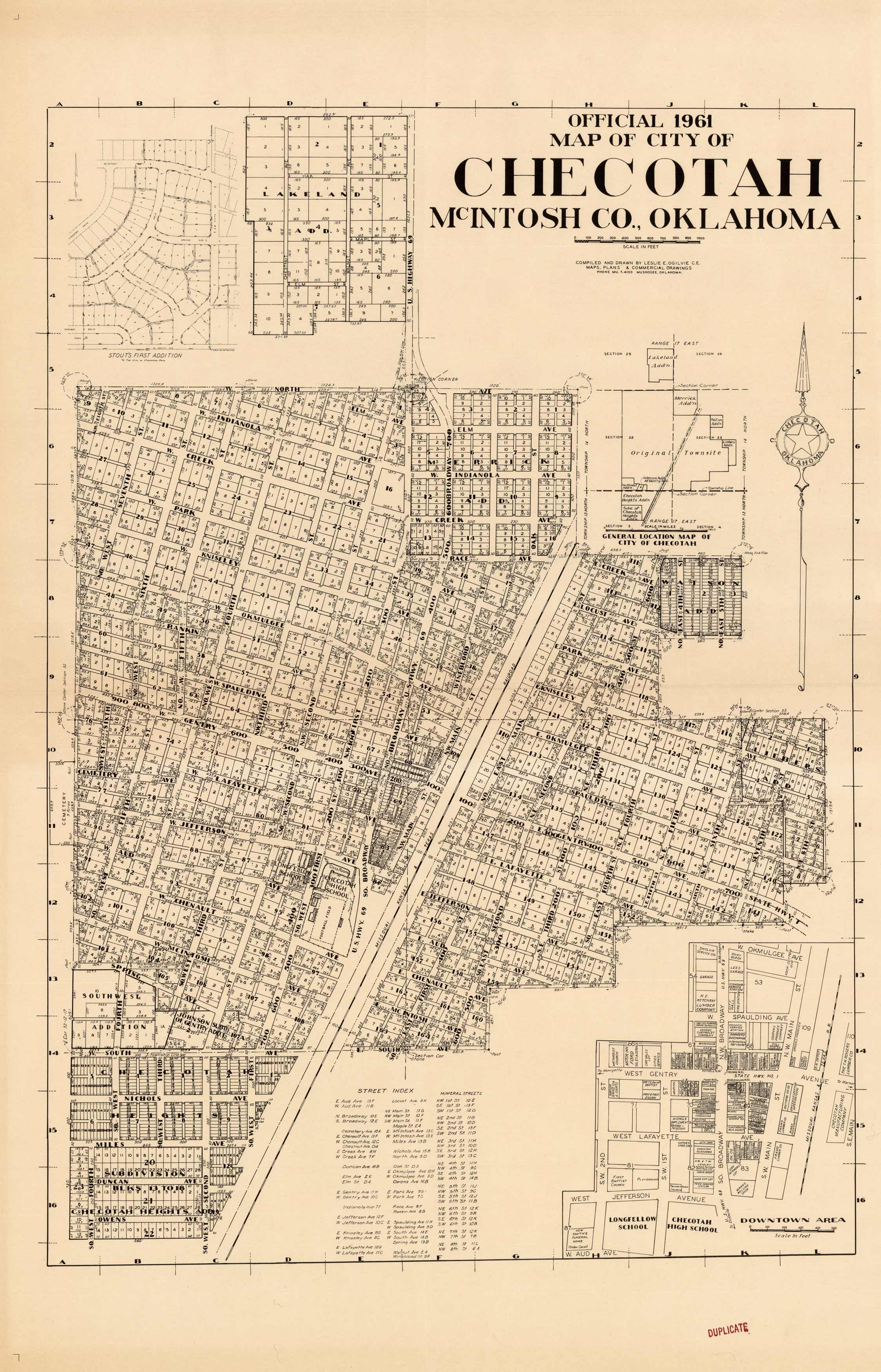
Official 1961 Map of City of Checotah, McIntosh Co., Oklahoma
In stock
The Official 1961 map of Checotah, Oklahoma. A very detailed city map showing all subdivisions and lots. The inset map of the downtown are shows all property owners.
Size: 22.5 x 35 inches
Condition: Excellent
Map Maker: Leslie E. Oglevie C.E., Maps, Plans, and Commercial Drawings
Coloring: Black and white
Year: 1961
Condition: Excellent
Map Maker: Leslie E. Oglevie C.E., Maps, Plans, and Commercial Drawings
Coloring: Black and white
Year: 1961
In stock


