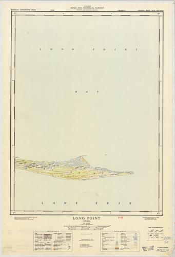
Long Point, Ontario
In stock
Produced by the Department of Mines and Technical Surveys, Canada, published in 1954. This map was originally surveyed by the Army Survey Establishment in 1907, and recompiled, drawn and printed by A.S.E in 1954. Long Point, is the main focus on this topographic map where several of the Creek, Ridges, and Ponds are identified. Other details include lakes, streams, marshes, contours and elevations, as well as a few building locations, such as schools and other official buildings. This map is in great condition with a few markings and a geology library stamp in the margins. This map has a canvas backing.
Size: 17 x 22.75 inches
Condition: Very Good, light age toning on edges, small markings
Map Maker: Surveys and Mapping Branch - Canada
Coloring: Printed Color
Year: 1954
Condition: Very Good, light age toning on edges, small markings
Map Maker: Surveys and Mapping Branch - Canada
Coloring: Printed Color
Year: 1954
In stock


