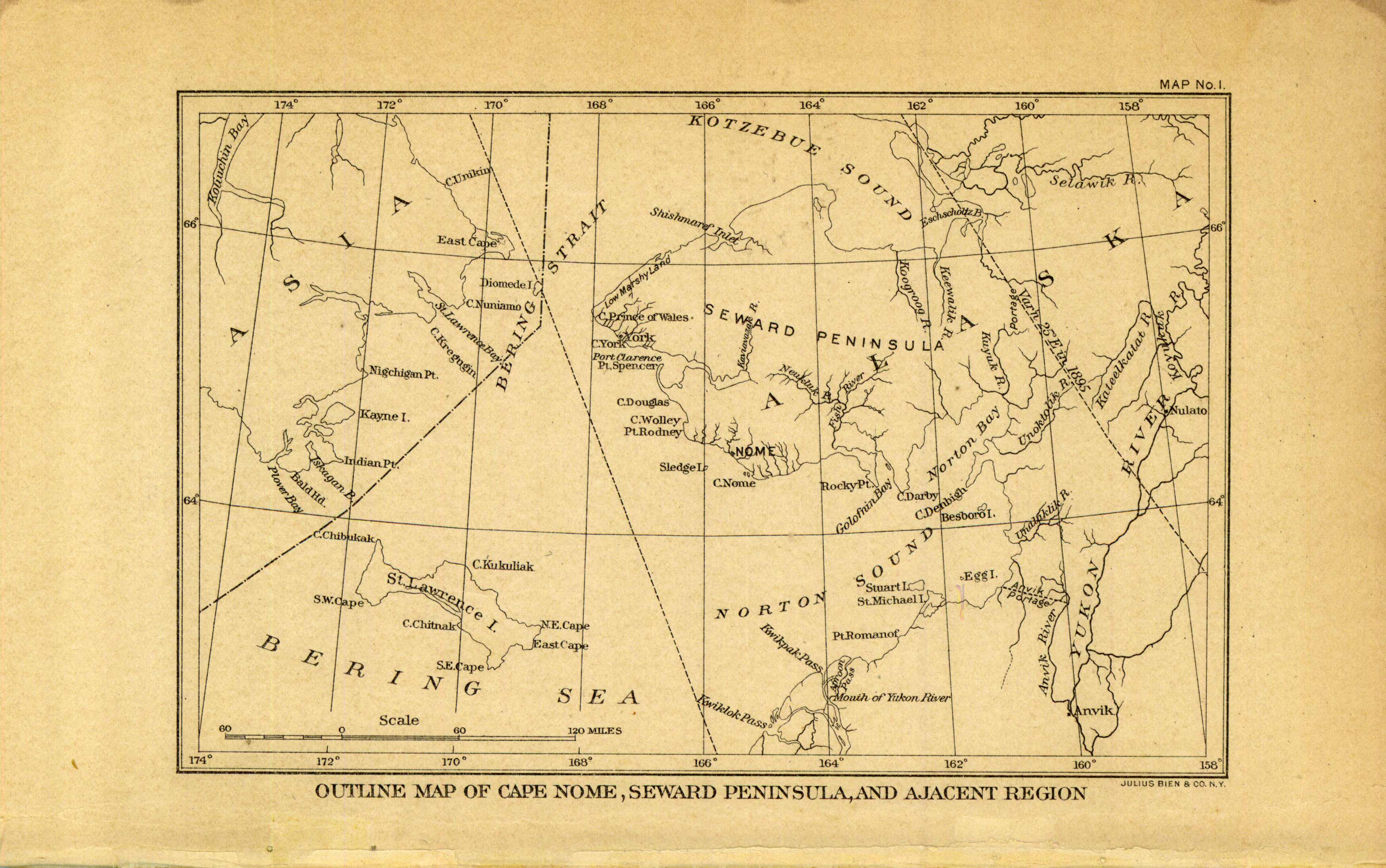
Outline Map of Cape Nome, Seward Penninsula, and Adjacent Region, Alaska
In stock
These U.S. Geological Survey maps were included in the “Preliminary Report on the Cape Nome Gold Region, Alaska”, published in 1900. The maps and illustrations were produced by Assistant Geologists Frank C. Schrader and Alfred H Brooks.
Size: 9 x 6 inches
Condition: Very Good
Map Maker: U. S. Geological Survey
Coloring: Printed Color
Year: 1900
Condition: Very Good
Map Maker: U. S. Geological Survey
Coloring: Printed Color
Year: 1900
In stock


