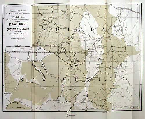
Outline Map Showing the lines of communication between Southern Colorado and Northern New Mexico
Out of stock
Covering an area from Pueblo and the San Luis valley, down to Fort Defiance and Santa Fe, this rare map of the region captures some key information on its early settlement. Showing the development of the road infrastructure, town and fort location as well as the new mining regions, this map provides an interesting visual history for a beautiful area of the West. Condition of this map is very good. Maps that feature this area are quite uncommon for this time.
Size: 18 x 14 inches
Condition: Very Good
Map Maker: US Govt. - Ruffner
Coloring: Printed Color
Year: circa 1876
Condition: Very Good
Map Maker: US Govt. - Ruffner
Coloring: Printed Color
Year: circa 1876
Out of stock


