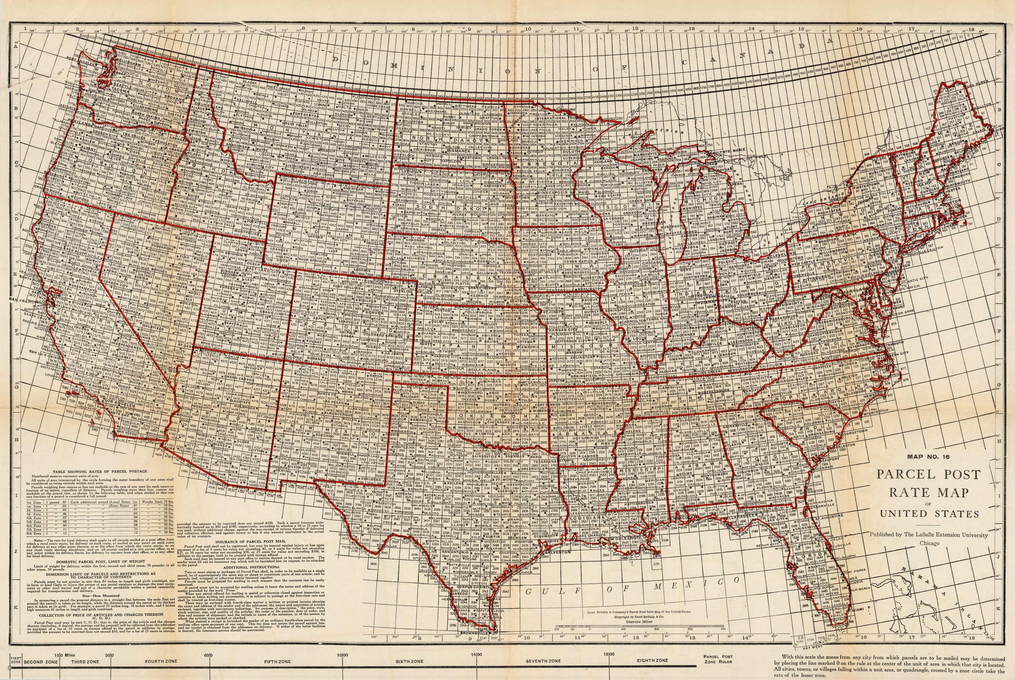
Parcel Post Rate Map of the United States
In stock
This hard to find map shows the parcel post rate throughout the United States. It was created by Charles E. Wymond for the “Atlas of Railway Traffic Maps” in 1919. The Atlas contains maps covering routes and rate classification groupings of the various transportation agencies. This highly detailed map shows states, cities, rates, and includes a key that provides in-depth information.
Size: 27 x 17.75 inches
Condition: Good, age toning, folds, and repaired tear along fold
Map Maker: Charles E. Wymond
Coloring: Printed Color
Year: 1919
Condition: Good, age toning, folds, and repaired tear along fold
Map Maker: Charles E. Wymond
Coloring: Printed Color
Year: 1919
In stock


