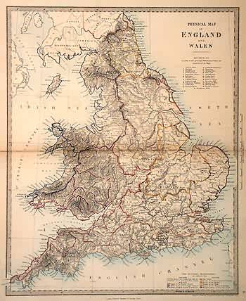
Physical Map of England and Wales
Out of stock
This hand colored map is from the Modern Harrow School Atlas pulblished in 1861 by Edward Stanford. The physical traits of England and Wales are illustrated on this beautiful map. Details include major roads, railroads, important cities, rivers, lakes,watersheds, water basins, illustrations of mountains and hiily terrain,and notes on the area. The majority of the map is black and white while country borders, water bodies, and the names of major cities are highlighted in bright colors. A reference list to the right of the map identifies the principal mountains and lakes on the map in a numbered key.
Size: 12.25 x 15 inches
Condition: Very Good- minor repaired seperation of center fold
Map Maker: Edward Stanford
Coloring: Hand Color
Year: 1861
Condition: Very Good- minor repaired seperation of center fold
Map Maker: Edward Stanford
Coloring: Hand Color
Year: 1861
Out of stock


