Plan of Milwaukee
Out of stock
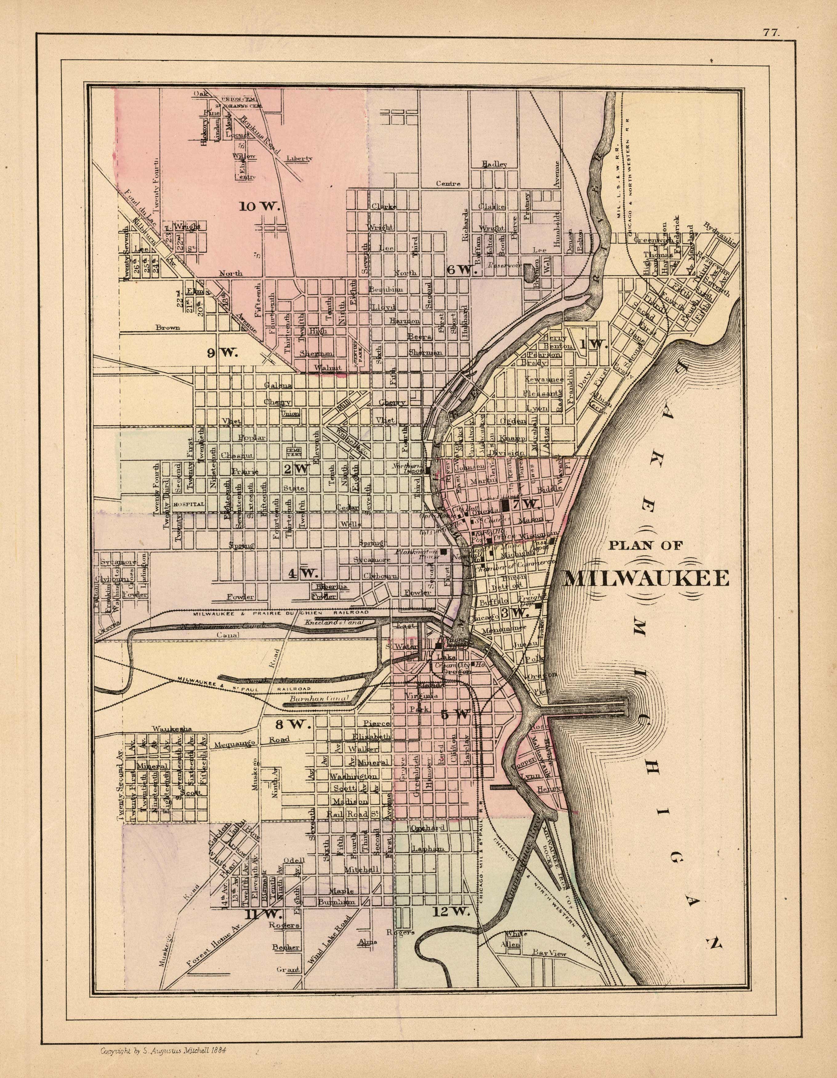
This map was made by S. Augustus Mitchell for “Mitchells New General Atlas” published in 1885, by WM. M. Bradley & Co. The well maintained maps in this atlas feature Mitchell’s characteristic pastel coloring and abundant details of geographical features. A plan of Milwaukee is illustrated. Details include the names of streets, rail road lines, depots, and important buildings. City sections are differentiated by coloring. These 1885 maps offer a fascinating perspective of areas that have since undergone significant growth and change, in addition to their value as great examples of Mitchell’s work.
Size: 9 x 12 inches
Condition: Very Good
Map Maker: S. Augustus Mitchell
Coloring: Original Hand Coloring
Year: 1885
Condition: Very Good
Map Maker: S. Augustus Mitchell
Coloring: Original Hand Coloring
Year: 1885
Out of stock


