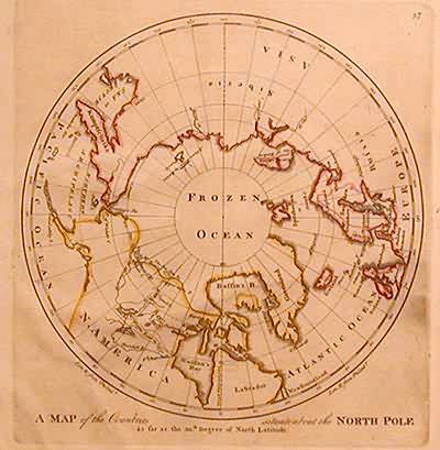
A Map of the Countries Situate about the North Pole
Out of stock
This beautiful and rare map of the North Pole was made in 1817 by Carey. It illustrates the North Pole and surrounding lands as known in the early 1800’s. The map is mostly black and white with bright hand colored outlines of continents. Some place names are provided as well as the names of oceans and the routes of important explorers.
Map Maker: Carey
Coloring: Original Hand Color
Year: 1817
Coloring: Original Hand Color
Year: 1817
Out of stock


