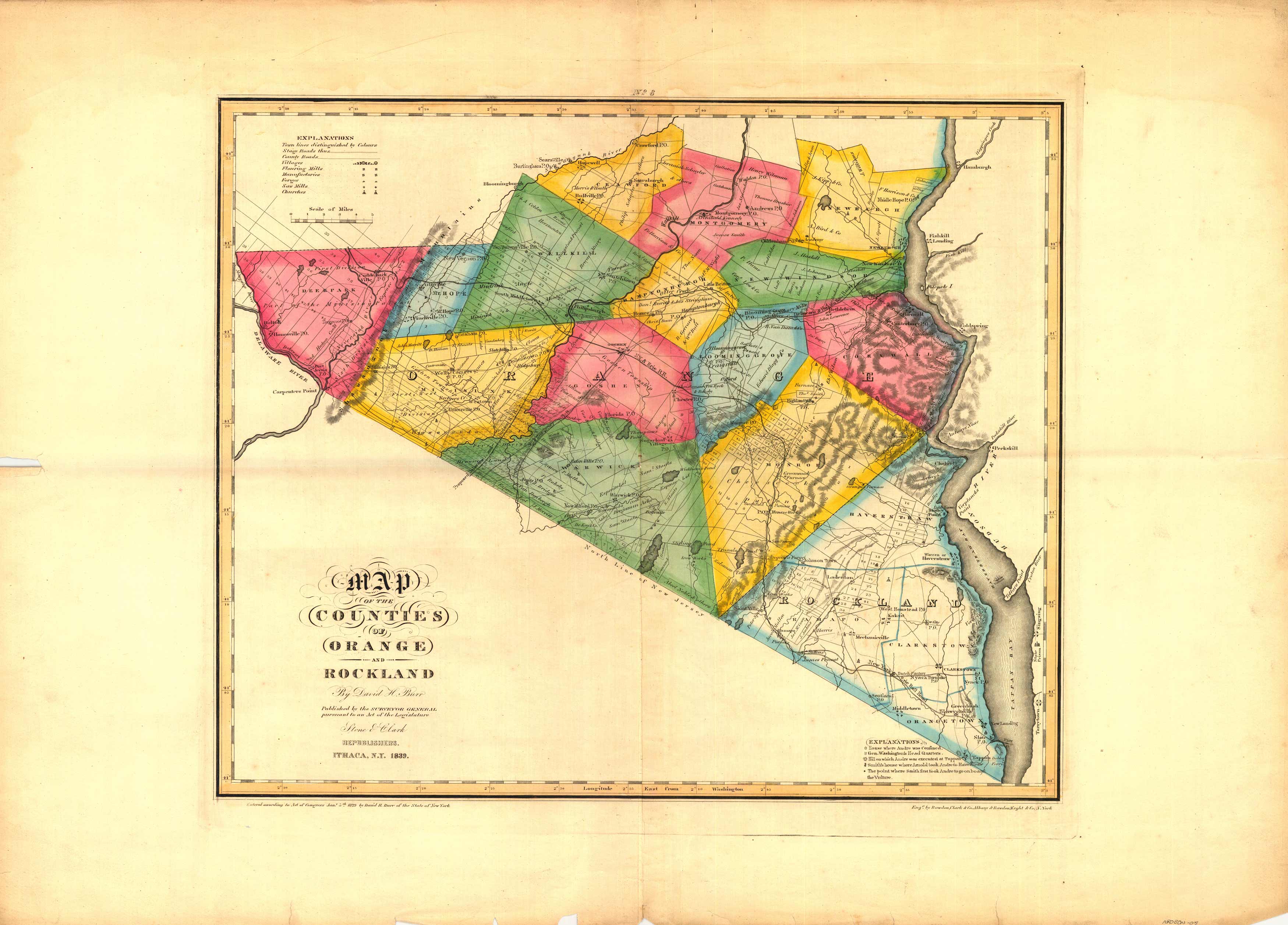
Map of the Counties of Orange and Rockland (New York)
In stock
This beautifully-colored 1839 map of Orange and Rockland Counties, New York by David H. Burr was published by the Surveyor General pursuant to an act of the Legislature. It shows the Hudson River from Hamburgh to Tappan. Each township is colored differently.
Size: 20.5 x 17 inches
Condition: Good - tearing in margins, paper separation along folds
Map Maker: David H. Burr
Coloring: Original Hand Color
Year: 1839
Condition: Good - tearing in margins, paper separation along folds
Map Maker: David H. Burr
Coloring: Original Hand Color
Year: 1839
In stock


