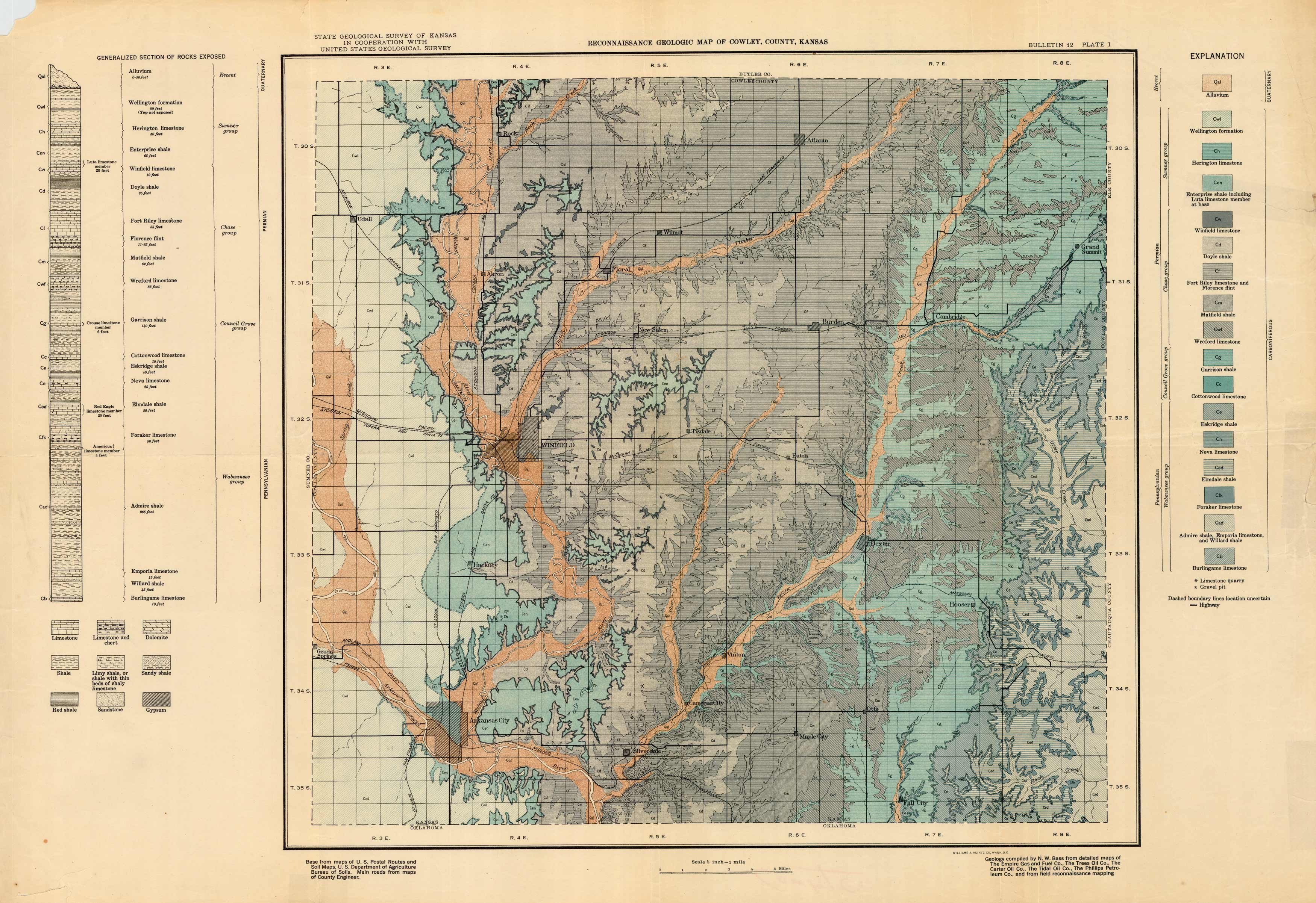
Reconnaissance Geologic Map of Cowley County, Kansas
In stock
Reconnaissance Geologic Map of Cowley County, Kansas produced by the State Geological Survey of Kansas in cooperation with United States Geological Survey.
Size: 27 x 19 inches
Condition: Good - age toning, paper distress and loss in margins
Map Maker: State Geological Survey of Kansas / USGS
Coloring: Printed Color
Year: circa 1930
Condition: Good - age toning, paper distress and loss in margins
Map Maker: State Geological Survey of Kansas / USGS
Coloring: Printed Color
Year: circa 1930
In stock


