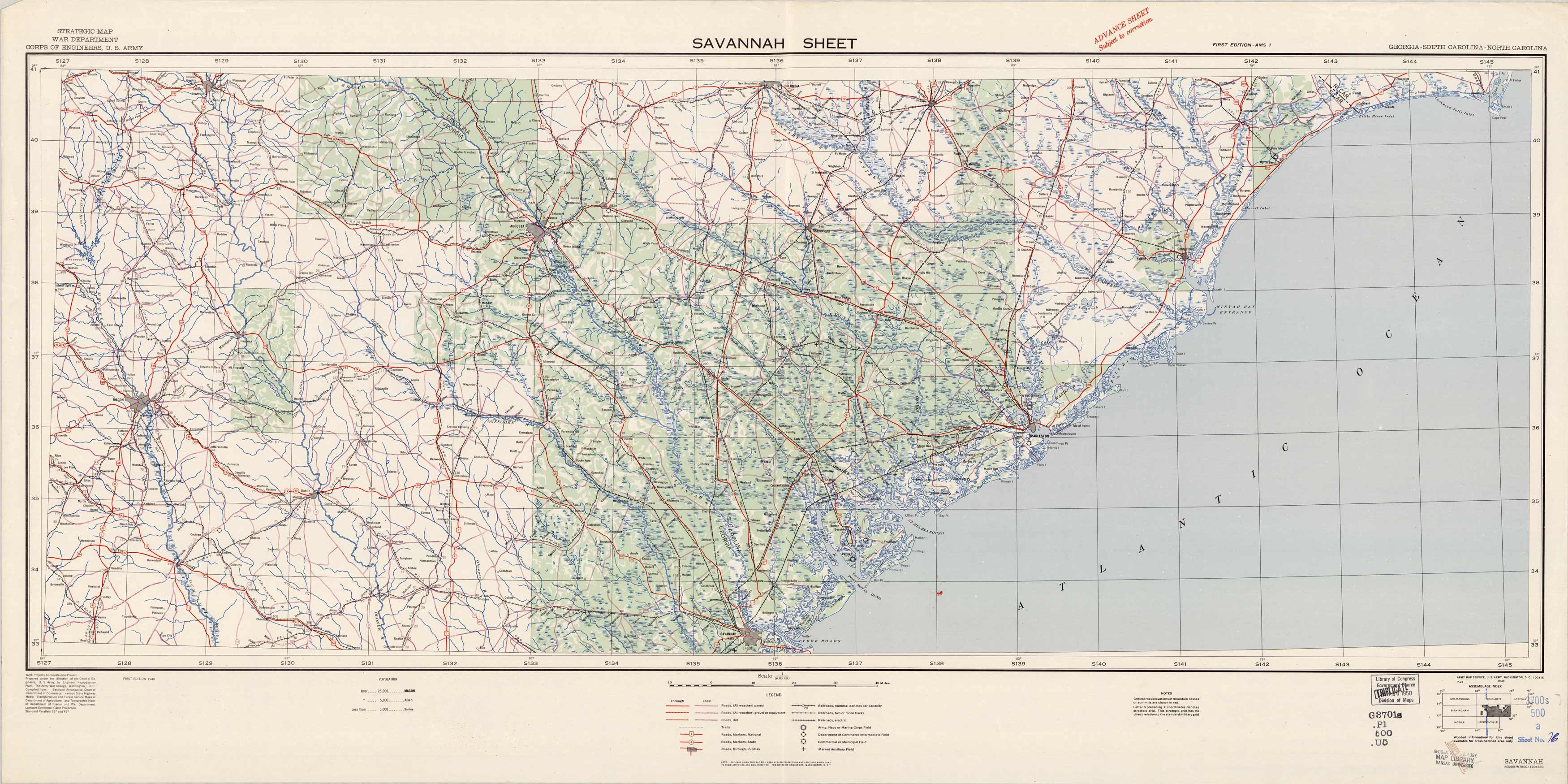
Savannah Sheet, Strategic Map
In stock
Prepared under the direction of the Chief of Engineers, U.S. Army in 1940, this strategic map for the war department shows topographic features, cities, roads, railroads, fields, and trails. This sheet shows the area from Augusta down to Savannah.
Size: 46.25 x 22.5 inches
Condition: Very Good, library stamp Map Library Kansas University
Map Maker: U.S. Corps of Engineers
Coloring: Printed Color
Year: 1940
Condition: Very Good, library stamp Map Library Kansas University
Map Maker: U.S. Corps of Engineers
Coloring: Printed Color
Year: 1940
In stock


