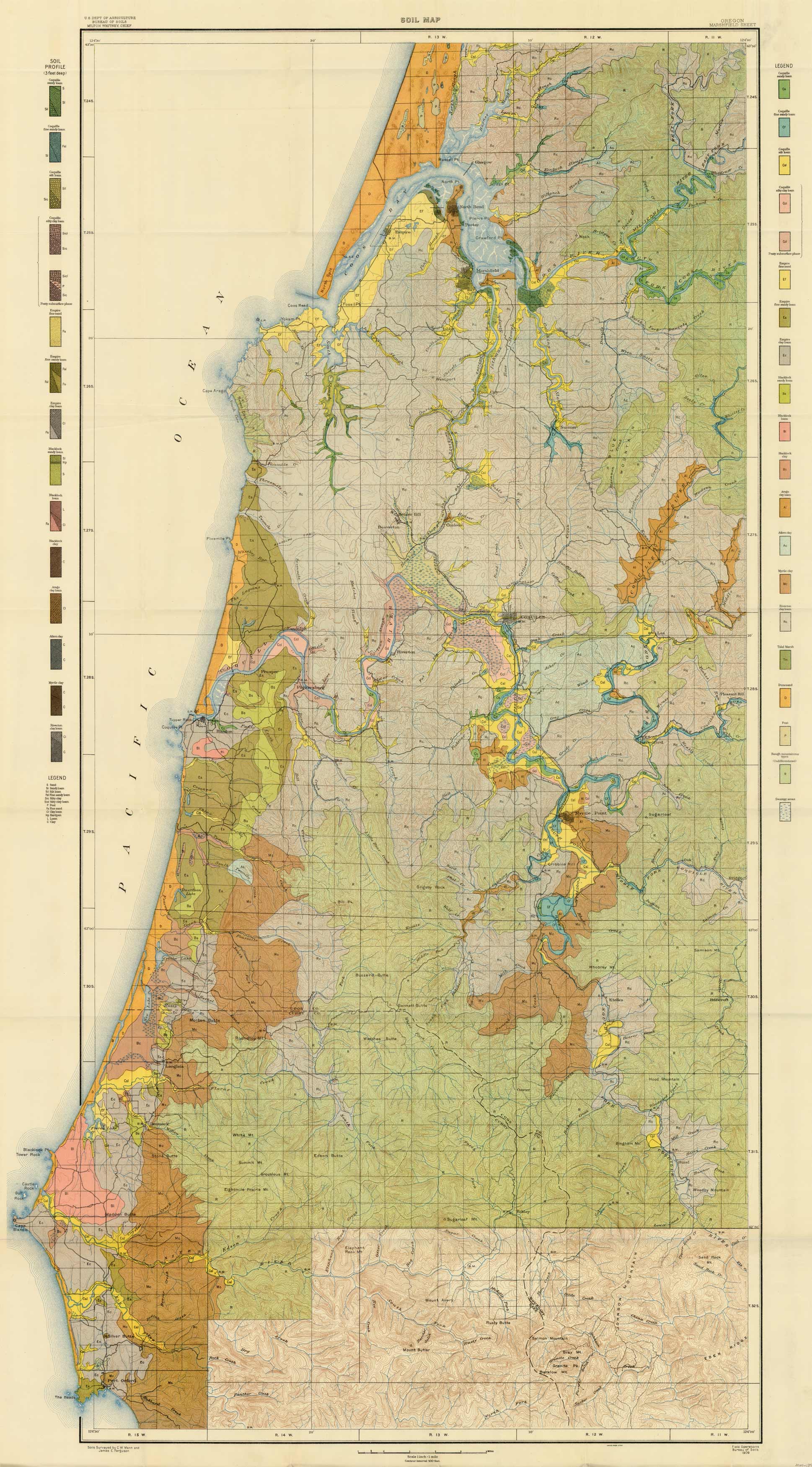
Soil Map – Oregon – Marshfield Sheet
Out of stock
This 1909 soil map of the Marshfield, Coos River, and Coquille River areas in Oregon was produced by the U.S. Department of Agriculture / Bureau of Soils. Beautiful printed color on the map and legend shows different soil profiles (3 foot depth).
Size: 31 x 56 inches
Condition: Very Good
Map Maker: U.S. Department of Agriculture / Bureau of Soils
Coloring: Printed Color
Year: 1909
Condition: Very Good
Map Maker: U.S. Department of Agriculture / Bureau of Soils
Coloring: Printed Color
Year: 1909
Out of stock


