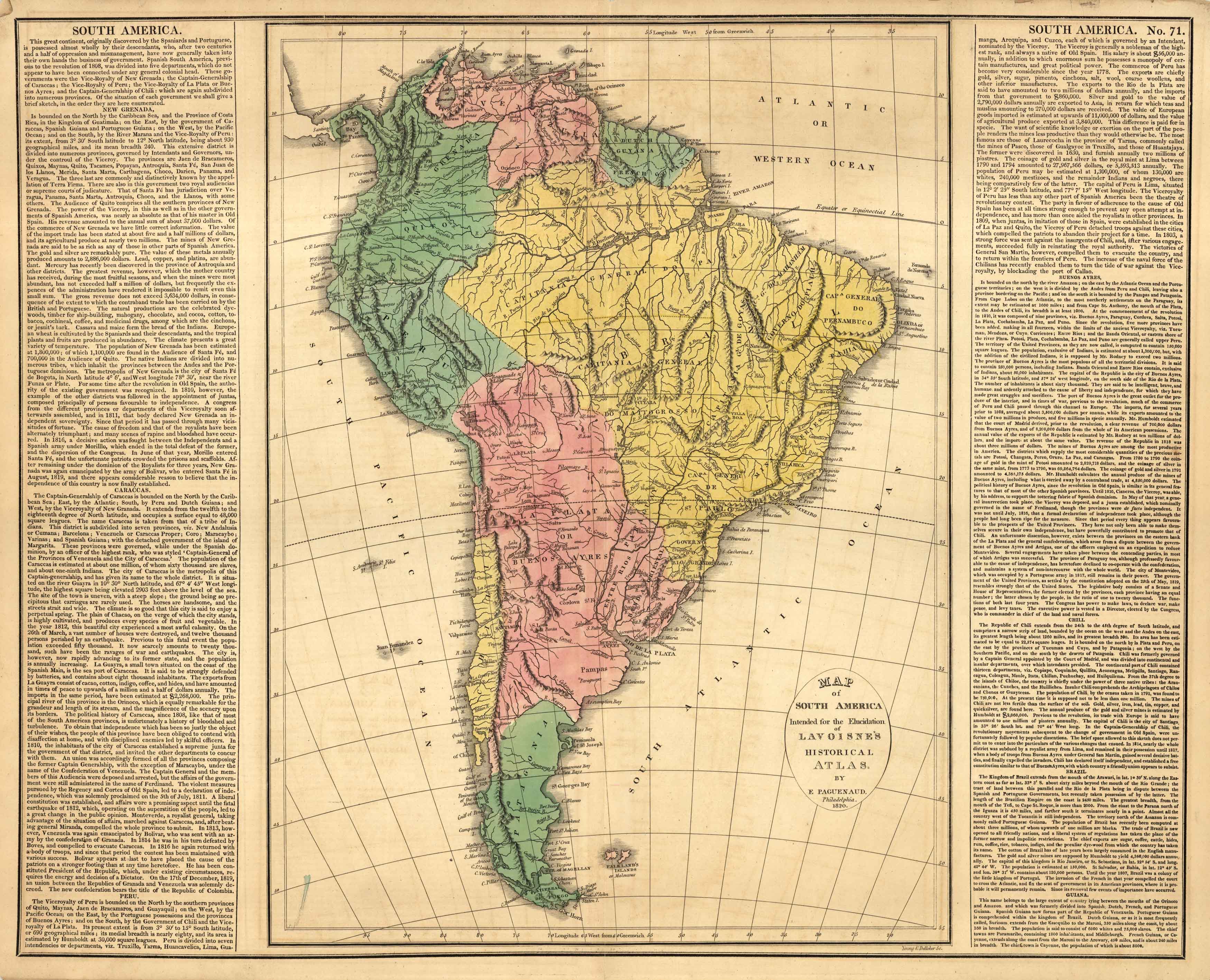
Map of South America
In stock
This beautiful map of South America came from M. Lavoisnes Genealogical Historical Chronological and Geographical Atlas. Surrounding this brightly colored map is important textual information on geography and history. It is important to note that on this map, Chile is quite small, Patagonia is a separate country, and Argentina is La Plata or Buenos Ayres.
Size: 20.5 x 16.5 inches
Condition: Good - overall age toning
Map Maker: M. Lavoisne
Coloring: Original hand color
Year: 1820
Condition: Good - overall age toning
Map Maker: M. Lavoisne
Coloring: Original hand color
Year: 1820
In stock


