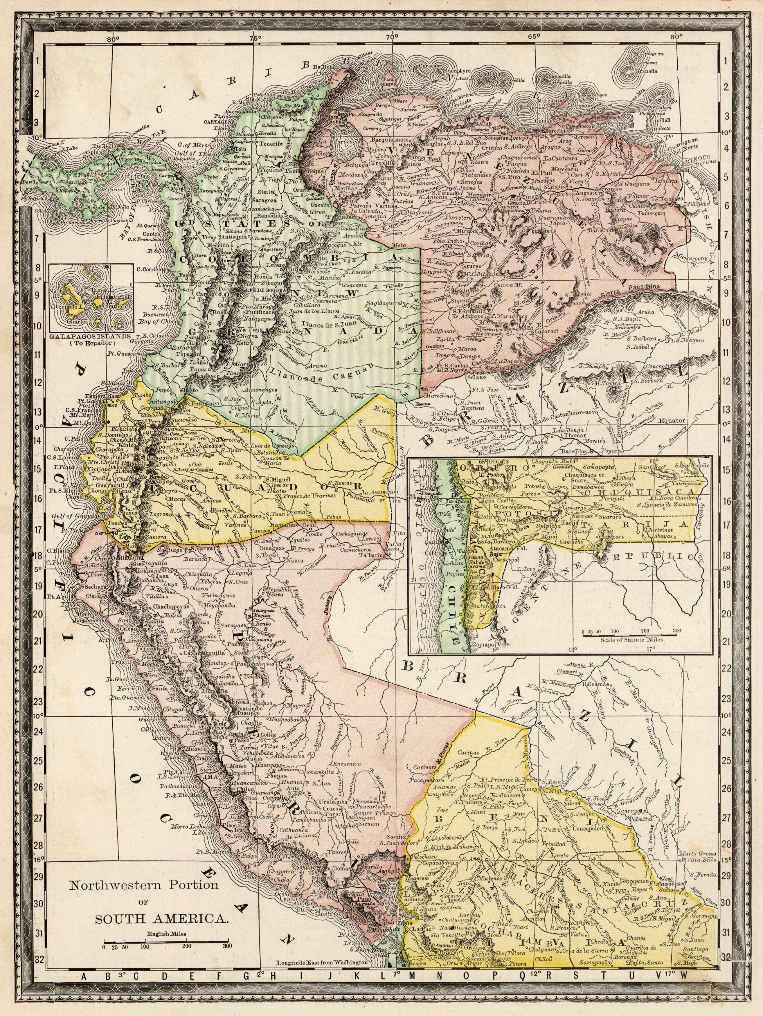
Northwestern Portion of South America
In stock
This map of the Northwestern Portion of South America was issued by Rand McNally & Co. as part of the Business Atlas and Shippers Guide in 1890. The Rand McNally Company was the premiere mapmaker in the business and shipping map arena. This highly detailed map shows countries, cities and towns, and various geographic features. Also included is an inset map of the Galapagos Islands.
Size: 9.75 x 13 inches
Condition: Very Good, light age toning and foxing
Map Maker: Rand McNally & Co.
Coloring: Printed Color
Year: 1890
Condition: Very Good, light age toning and foxing
Map Maker: Rand McNally & Co.
Coloring: Printed Color
Year: 1890
In stock


