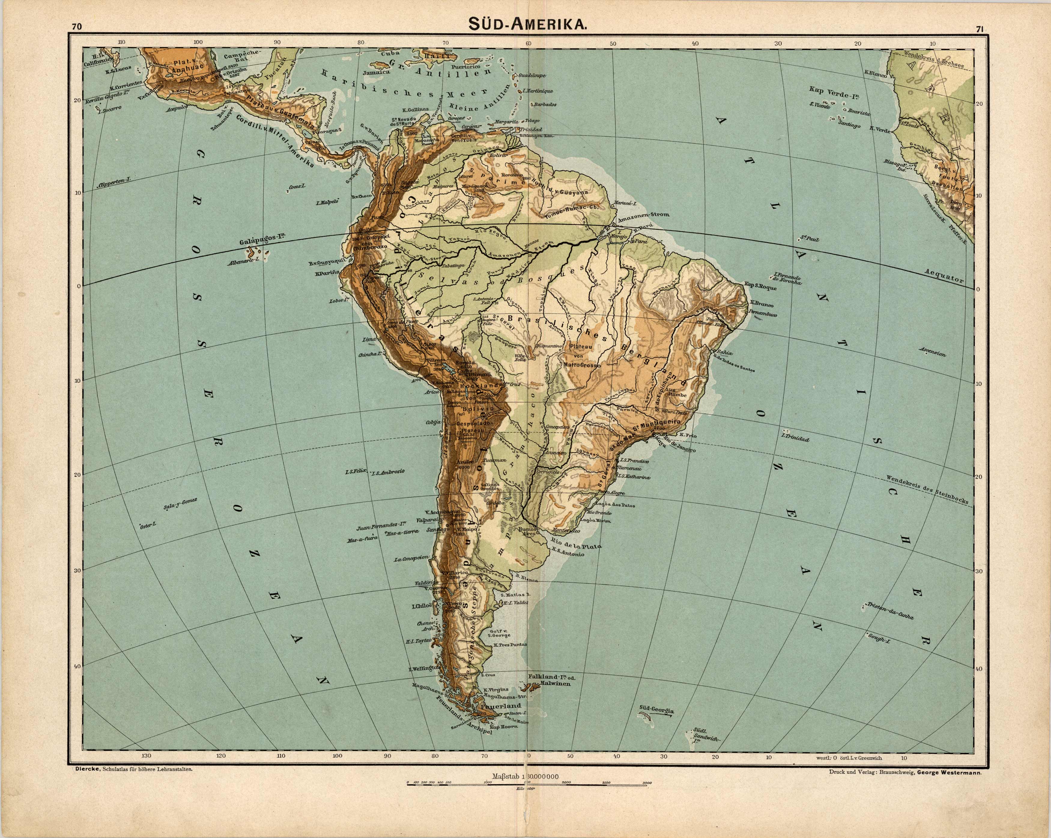
S�d-Amerika (South America)
In stock
This map was produced for the 1902 Diercke, Schul-Atlas fur Hohere Lehranstalten, (Diercke Education Atlas for Higher Educational Institutions) This atlas was prepared and issued by C. Diercke and E.Gaebler for the Westermann publishing group in Braunschweig. With the help of fellow cartographer, Eduard Gaebler, Carl Dierckes maps became a staple in the geography classrooms in Germany. From 1893 until his death, Diercke was editor of all the maps for Westermann Verlag. All text is in German with full color that has remained quite bold. A wonderful example of the fine German engraving work of the time. These beautiful, topographic maps show the physical attributes and contours of the land as well as identifies cities, countries, rivers, mountains, boundaries, and more. They are double sided maps (shown side by side in image) which have corresponding information to the country on the opposite side. This map shows the continent of South America on one side and has ten maps on the other side regarding: Maranon-M’ndung (Maranon-mouth), Magalhaens-Strasse (Magalhaens-road), Vegetations-u. Regenkarte (Vegetation and Rain map), Hochland von Quito (Highlands of Quito), Titicaca-See (Lake Titicaca), Isthmus von Tehuantepec (Isthmus of Tehuantepec), Isthmus von Nicaragua, Meeresgebiete u. Temperatur (Marine areas and Temperature), Isthmus von Panama, and Isthmus von Darien.
Condition: Very Good, light age toning, archivally reinfornced seam
Map Maker: Carl Diercke, Eduard Gaebler
Coloring: Printed Color
Year: 1902
In stock


